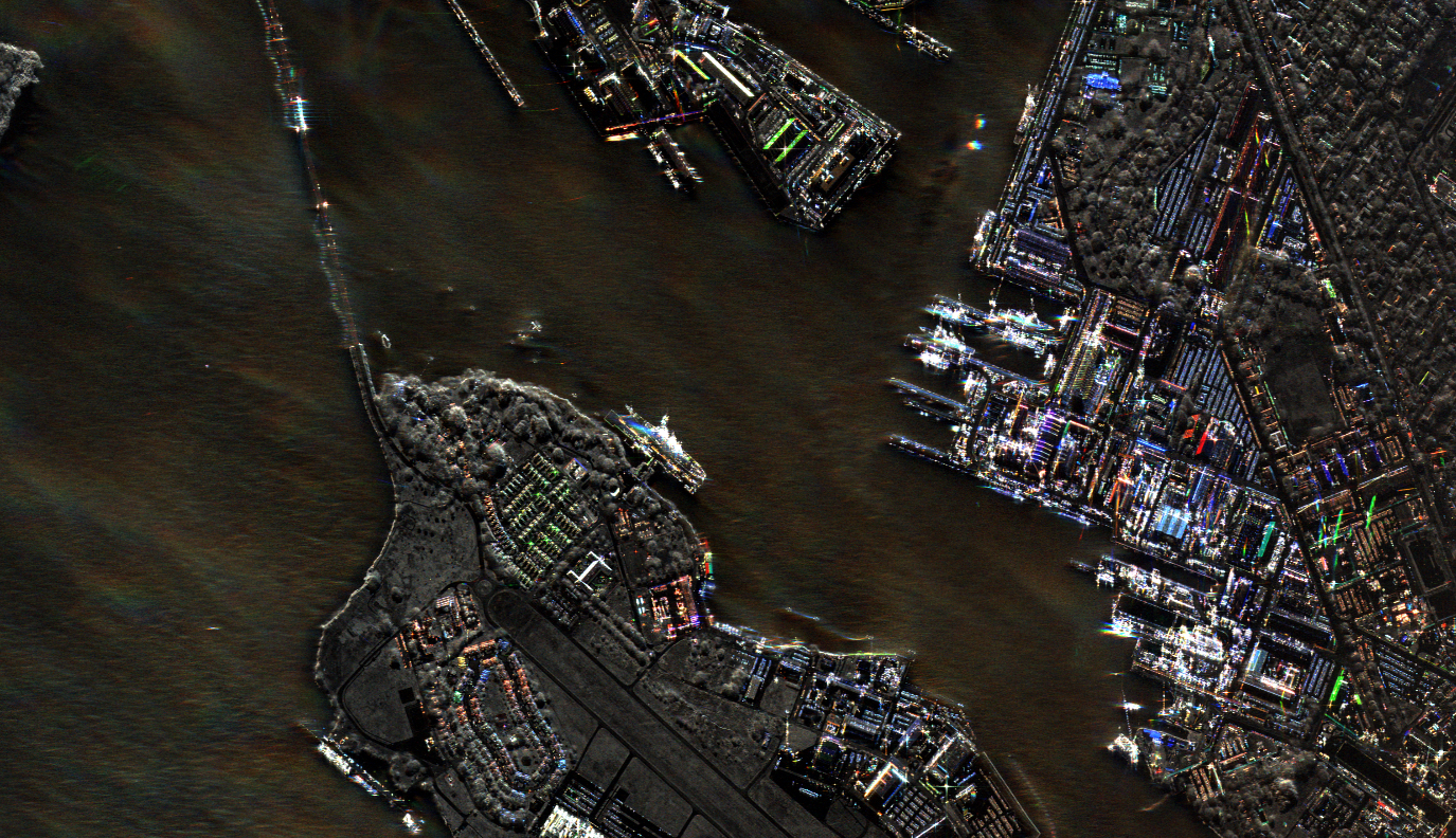
KISSIMMEE, Fla. — Iceye, a Finnish company that builds and operates a constellation of synthetic aperture radar imaging satellites, is providing customers with direct control to task their satellites, a capability that is increasingly common
The direct tasking of satellites by customers is becoming an increasingly common capability offered by commercial remote sensing satellite companies, enabling users to dynamically adjust imaging priorities and respond to emerging events.
Synthetic aperture radar (SAR) satellites capture imagery day or night and in any weather conditions, making them valuable tools for a range of applications including maritime monitoring, infrastructure assessment, and disaster response.
The company announced May 6 at the GEOINT Symposium it is releasing two APIs, or application programming interfaces. One automates the satellite tasking process, enabling machine-to-machine interactions The other automates the process for customers to request SAR imagery from Iceye’s archive of over 60,000 images.
‘Extensive security review’
Eric Jensen, CEO of Iceye US, the company’s U.S.-based subsidiary, said customers undergo an “extensive security review to ensure any SAR imagery accessed is used appropriately and shared with trusted parties.”
“Those who meet Iceye’s stringent standards will benefit from unprecedented access to SAR data,” he said.
Jensen said several customers have been using beta versions of the APIs before the official release. “We want to make sure that customer data is protected and that our system is also protected from abuse.”
Iceye has launched 35 satellites, but some are for exclusive use of national customers like the United Arab Emirates, so they’re not all available for tasking.
“A large majority of the satellites would be in our commercial constellation,” said Jensen.
Within the U.S. government, users have different “levels of maturity or readiness to accept APIs,” he said. “Some actually prefer not to use it for various reasons.”


