Tropical storm systems can be extremely dangerous, so getting good data about them is critical.
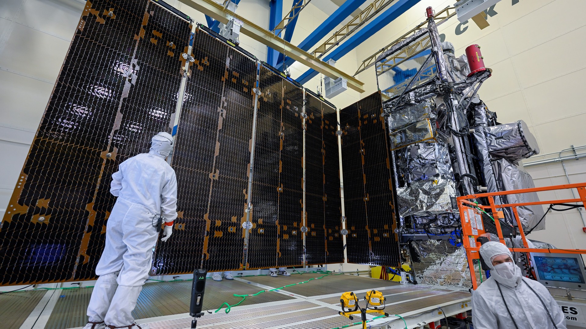
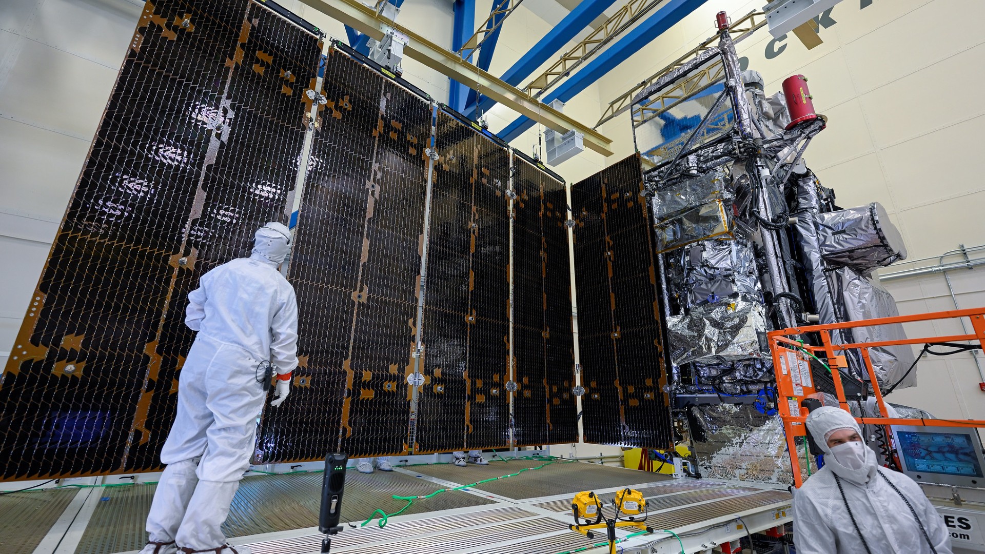
Weather forecasters and researchers rely on imagery and data from the U.S. National Oceanic and Atmospheric Administration’s (NOAA) Geostationary Operational Environmental Satellite (GOES)-R Series satellites, to help provide advance warning to save lives and protect property — and also to better understand how these powerful storms develop and grow.
A little closer to home, NOAA also has a fleet of “Hurricane Hunter” aircraft, whose pilots navigate the “high-flying meteorological stations” above, around and even through hurricanes. These planes collect data that works in tandem with satellite information, giving scientists a clearer picture and improving forecast models with every flight.
Space.com had an opportunity to get up close with one of the two types of Hurricane Hunter planes while at Florida’s Cape Canaveral ahead of the launch of NOAA’s GOES-U satellite, which lifted off in late June. I asked the pilots what they are most looking forward to with the final part of the GOES-R satellite constellation heading to space.
“GOES-U is going to provide high-quality data that’s going to help us pre-flight plan and know what the storm is doing, how it’s developing, what it looks like so we can have the best idea before we actually go into and fly our missions into the storm,” Lt. Christopher Wood, an aircraft commander on NOAA’s Lockheed WP-3D Orion aircraft, told Space.com.
Related: Powerful GOES-U weather satellite launches to orbit atop SpaceX Falcon Heavy rocket (video)
“Additionally, the solar information that it’s going to be able to provide is going to be helpful, because often we are well outside of regular radio range and we’re relying on high frequency [HF] communications, and those can definitely be impacted by any types of solar events that are going on,” Wood added. “It’s going to be vital for us to maintain communications as well.”
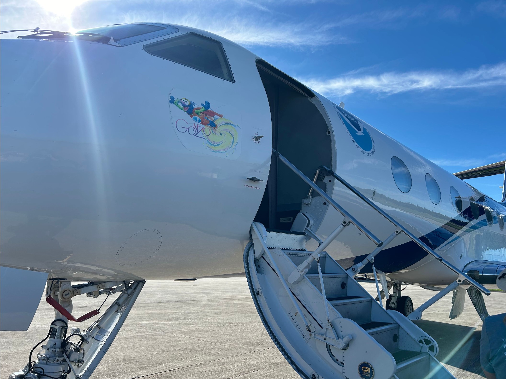
Space.com was able to get a tour of one of NOAA’s two Gulfstream IV-SP (G-IV) aircraft, nicknamed Gonzo, that can fly at an altitude of 45,000 feet (13,716 meters) ahead of, above and all around a storm to gather information about where it’s headed. The other two planes in the fleet are NOAA’s Lockheed WP-3D Orion (P-3) models that fly into and through a storm at an altitude of 8,000 to 10,000 feet (2,438 to 3,048 m), sending back data on its intensity and anatomy.
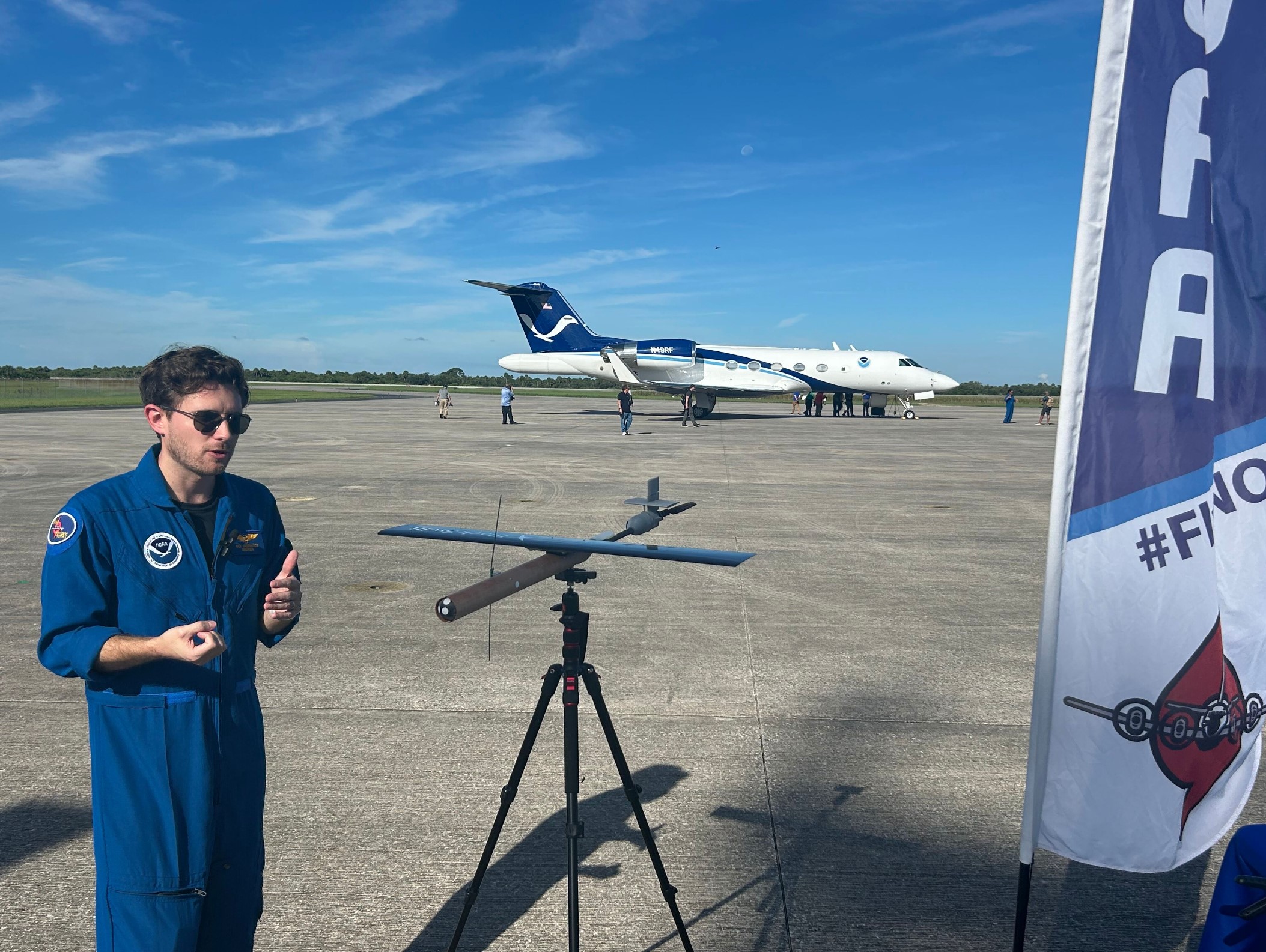
“Our job is to go out [and] collect the in situ data that complements all of the satellite data that the GOES series has been providing,” Nick Underwood, an aerospace engineer with NOAA’s Hurricane Hunters, told Space.com
“All of that together, just like the planes working together to give us that full picture of the storm — the satellite data is just another layer on that sandwich that allows us to really understand the structure and the movements of the storm. It’s all complementary; it’s all valid and vital to the forecasters.”
The G-IV has been on missions for almost every Atlantic-based tropical system since 1997. It investigates the area around the storm using GPS dropwindsondes and tail Doppler radar. The dropwindsondes are ejected like a parachute and take measurements vertically through the atmosphere of the storm. This helps paint a picture of how steering currents at high altitudes are influencing where a hurricane is headed next.
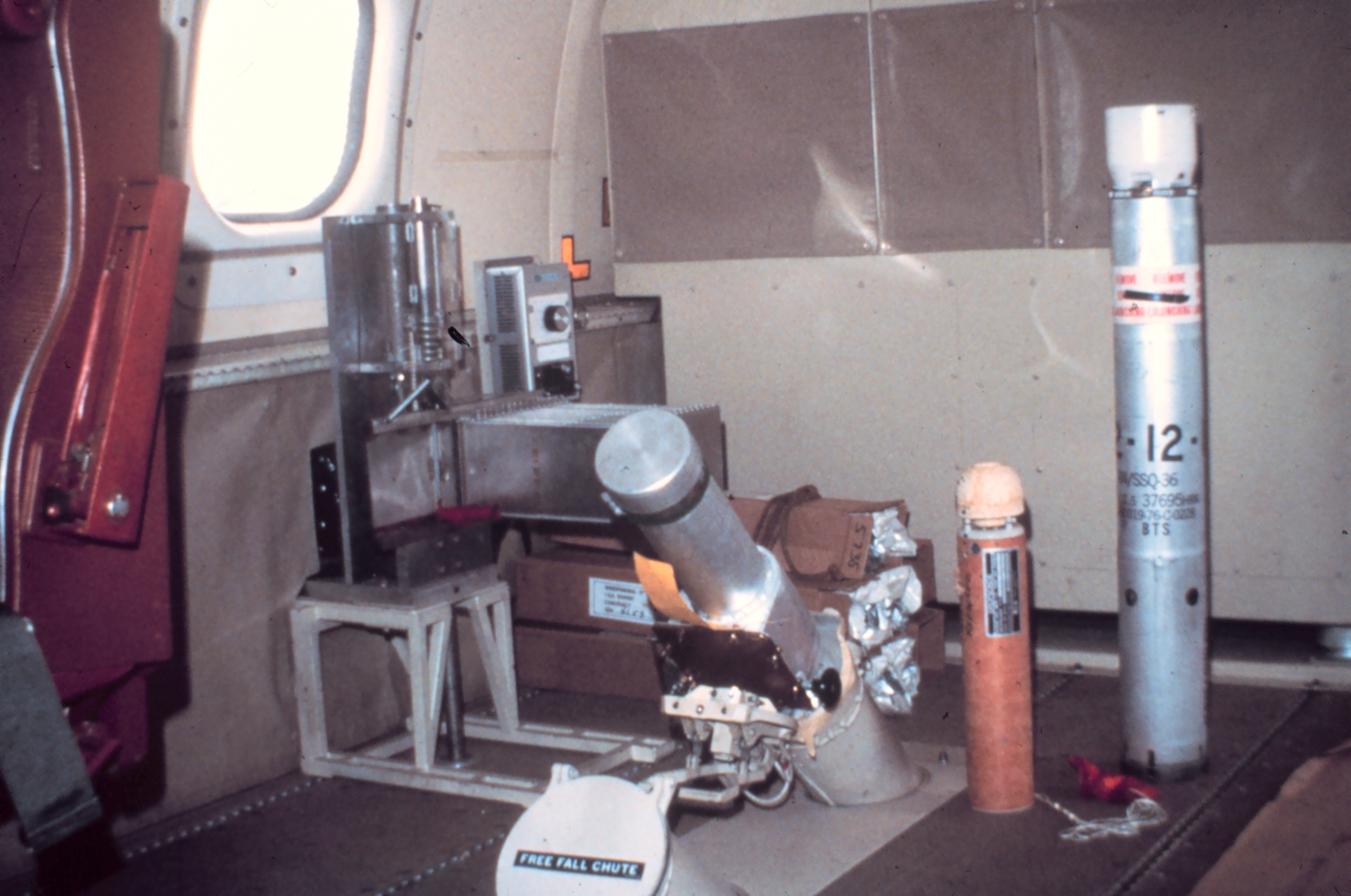
“Temperature, pressure, humidity, wind speed and wind direction are what these instruments collect. A newer instrument we’ve been launching is these StreamSondes that collect all the same data that the other dropsondes do, but these are able to stay aloft for a little bit longer to provide a little bit more data,” Underwood said.
“Off of our P-3s, the last few years we’ve been launching uncrewed aerial systems,” he added. “It’s a small drone that you’re able to drop from the P-3, and this can get down to a lot lower altitudes than the plane can safely get to collect some data that we otherwise would not be able to get.”
The P-3s and G-IV play a huge role gathering information during hurricane season, but the Hurricane Hunter crews stay busy year-round, taking on other missions for severe weather and atmospheric research programs through NOAA’s Aircraft Operations Center, based in Lakeland, Florida. NOAA Corps pilots also take out the aircraft to gather information to help scientists better understand different types of weather conditions worldwide.
