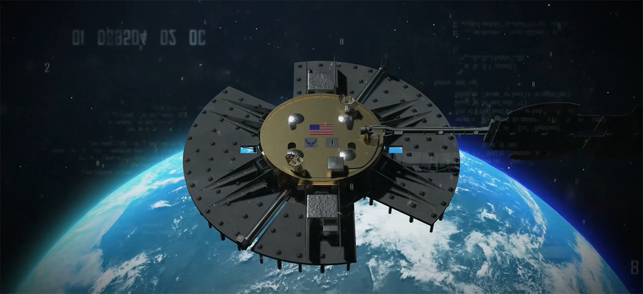
WASHINGTON — An experimental U.S. military satellite designed to test new space-based navigation technologies has been waiting nearly 20 months for a ride to geostationary Earth orbit (GEO).
The Navigation Technology Satellite-3 (NTS-3), developed by the U.S. Air Force Research Laboratory, aims to test advanced technologies for future GPS and satellite navigation systems. Its launch, potentially before year’s end, hinges on the certification of United Launch Alliance’s Vulcan rocket.
NTS-3 is set to explore next-generation positioning, navigation, and timing (PNT) technologies that could help modernize the Global Positioning System. The mission is significant for the U.S. military, as it would provide a rare chance to test PNT capabilities from GEO — a domain where China’s BeiDou system currently has the upper hand.
“We really don’t understand how accurate our signals can be from GEO. We’ve never done it before. So that’s one of the experiments for NTS-3,” said Joseph Rolli, director of business development for PNT at L3Harris Technologies, which manufactured the satellite under an $84 million contract awarded in 2018.
NTS-3 is equipped with six electronically steerable array panels, allowing it to direct energy to specific areas, potentially improving signal strength in areas with interference or weak GPS coverage such as canyons, Rolli said in an interview. This could also help overcome jamming threats, a key concern in military operations.
“Once this gets launched, there’s 100 flight experiments planned, and the results will determine how this technology gets incorporated into the GPS enterprise — whether through GEO augmentation or transferring those signals to the next generation of GPS,” Rolli explained.
Multi-orbit systems
The backdrop of this initiative is the escalating competition in space between the U.S. and China. While China operates PNT systems across medium and geostationary orbits, and is planning an augmentation layer in low Earth orbit, GPS only operates from medium orbit.
A successful NTS-3 mission could lead the Pentagon to consider deploying GEO-based PNT satellites, Rolli said.
The U.S. military is also planning to extend PNT capabilities into LEO. The Space Development Agency, an arm of the U.S. Space Force, aims to deploy more than 80 navigation satellites in LEO as part of its Proliferated Warfighter Space Architecture. This constellation, expected to begin rolling out in the next few years, would complement the existing GPS network by providing enhanced accuracy and redundancy from lower orbits.
A multi-orbit PNT system, with satellites in LEO, MEO, and GEO could significantly boost the resilience and precision of U.S. navigation services, Rolli said.
L3Harris’ contract includes options to purchase additional NTS spacecraft. Looking ahead, the company is also positioning to compete for the LEO PNT layer when the SDA moves forward with the procurement of the Tranche 3 satellites of the proliferated warfighter architecture, projected for fiscal year 2028.


