2 min read
Sols 4348-4349: Smoke on the Water
Earth planning date: Monday, Oct. 28, 2024
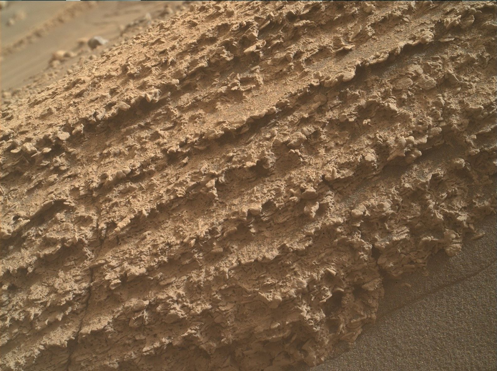
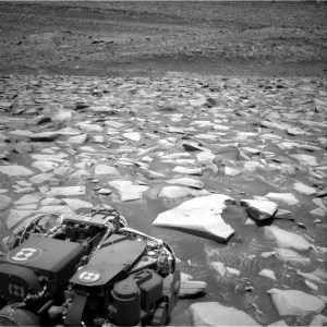
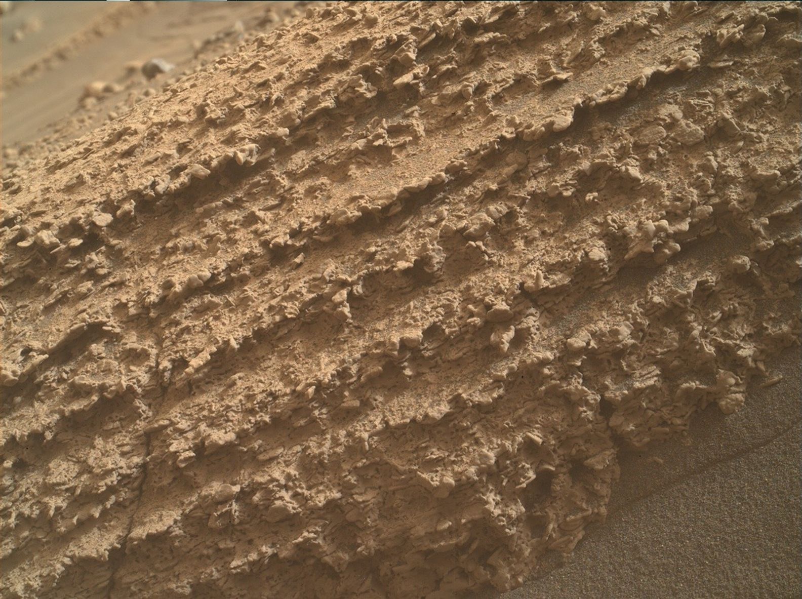
Before the science team starts planning, we first look at the latest Navcam image downlinked from Curiosity to see where the rover is located. It can be all too easy to get lost in the scenery of the Navcam and find new places in the distance we want to drive towards, but there’s so much beauty in the smaller things. Today I’ve chosen to show a photo from Curiosity’s hand lens camera, MAHLI, that takes photos so close that we can see the individual grains of the rock.
The planning day usually starts by thinking about these smaller features: What rocks are the closest to the rover? What can we shoot with our laser? What instruments can we use to document these features? Today we planned two sols, and the focus of the close-up contact science became a coating of material that in some image stretches looks like a deep-purple color.
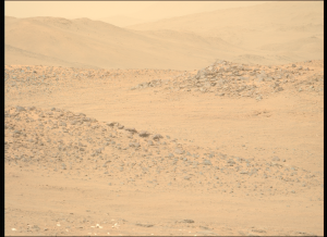
We planned lots of activities to characterize this coating including use of the dust removal tool (DRT) and the APXS instrument on a target called “Reds Meadow.” This target will also be photographed by the MAHLI instrument. The team planned a ChemCam LIBS target on “Midge Lake” as well as a passive ChemCam target on “Primrose Lake” to document this coating with a full suite of instruments. Mastcam will then document the ChemCam LIBS target Midge Lake, and take a mosaic of the vertical faces of a few rocks near to the rover called “Peep Sight Peak” to observe the sedimentary structures here. Mastcam will also take a mosaic of “Pinnacle Ridge,” an area seen previously by the rover, from a different angle. ChemCam is rounding off the first sol with two long-distance RMI mosaics to document the stratigraphy of two structures we are currently driving between: Texoli butte and the Gediz Vallis channel.
In the second sol of the plan, after driving about 20 meters (about 66 feet), Curiosity will be undertaking some environmental monitoring activities before an AEGIS activity that automatically selects a LIBS target in our new workspace prior to our planning on Wednesday morning.
Written by Emma Harris, Graduate Student at Natural History Museum, London
