Now Reading: Old Space meets New Space: a decade later and beyond
-
01
Old Space meets New Space: a decade later and beyond
Old Space meets New Space: a decade later and beyond

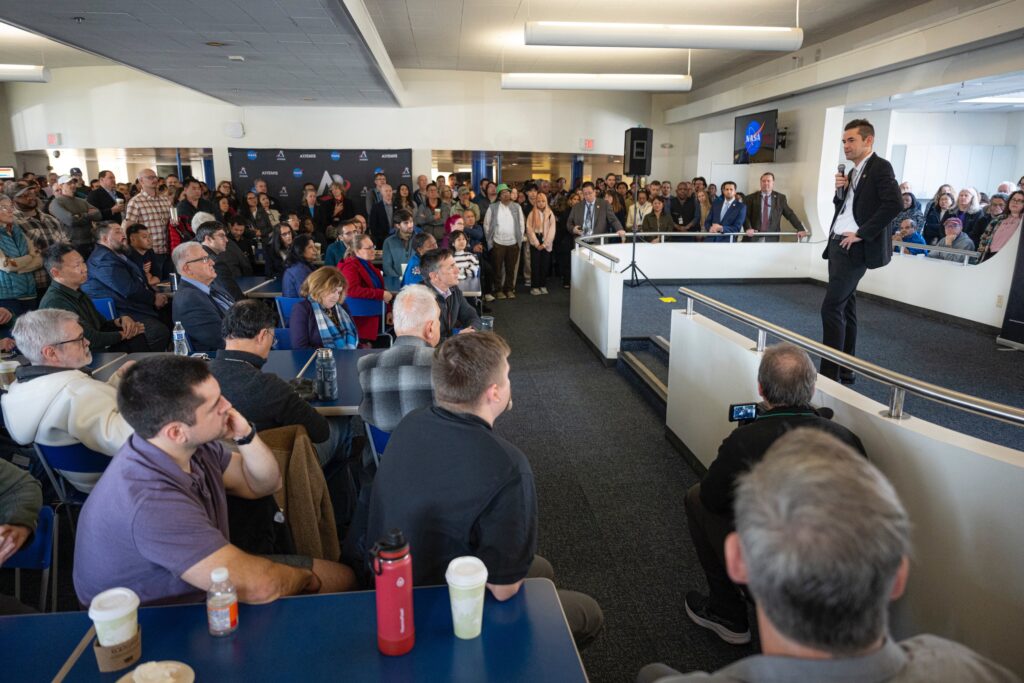
I recently attended the 40th Space Symposium in Colorado Springs, an event that has ballooned from a niche government-industry gathering into a global spectacle that drew over 15,000 attendees in 2025 including entrepreneurs, policymakers and even Hollywood influencers. Ten years ago, in my 2015 op-ed penned after the Space 2.0 conference in Silicon Valley, I described the aerospace sector as a collision course between “old space” behemoths — legacy contractors like Boeing and Lockheed Martin, steeped in decades of government contracts — and the audacious “new space” upstarts like SpaceX and Blue Origin, backed by billionaire visionaries and venture capital.
Back then, the divide felt palpable: old space viewed new space with suspicion, like an elderly relative fumbling with an iPod, unable to fathom its revolutionary potential. Today, in mid-2025, that divide has not just blurred, it’s evolved into a dynamic ecosystem where collaboration drives progress, though tensions and rivalries persist amid geopolitical strains and sustainability challenges. The space economy, valued at over $630 billion in 2023, is on track to surpass $1 trillion by 2030 and reach $1.8 trillion by 2035, fueled by falling launch costs, AI advancements and commercial innovations.
Reflecting on the past decade, the transformation is staggering. In 2015, I exaggerated that the industry was run by just 324 “human barnacles”, a tight circle of insiders recycling ideas and contracts. Now, the workforce has exploded, with space sector employment growing faster than the United States private sector average, as highlighted in the Space Foundation’s 2025 Q1 report. Investments poured in at record levels: $9.1 billion globally in 2024, shifting toward later-stage companies, and continuing robustly into 2025 with over $1.6 billion in Q1 alone, driven by satellite networks and in-space manufacturing. Old space hasn’t faded; it’s adapted.
Old Space hasn’t faded; the long stagnant contractor ecosystem has been forced to adapt in an attempt to compete for the market it once dominated. NASA’s Artemis program is a prime example of this synergy. Despite slipping from September 2025 to April 2026 due to Orion heat shield issues and life support system analyses, Artemis II, the first crewed mission in NASA’s long-anticipated return to the Moon, is now targeted for 2026. The program unites traditional players like Boeing (with its SLS rocket and Starliner capsule) and newcomers like SpaceX (providing the Starship Human Landing System for Artemis III, now targeted for late 2026). Boeing’s Starliner, after overcoming years of setbacks, finally achieved crewed certification in 2024 despite a highly publicized and embarrassing failure in orbit. Despite facing development challenges and slipping timelines of their own, SpaceX’s ambitious Starship prototypes (which critics initially insisted would never fly) have notched multiple test flights. While is is unclear whether Old Space or New Space will reach the lunar surface first; it is clear that Old Space has been reinvigorated to some extent by the competition and New Space is only just beginning to unlock the high frontier with large volume spacecraft reminiscent of the Spanish galleons of the 16th century or the great Transcontinental Railroad of the latter 19th century. In that spirit, SpaceX and Starship are paving the way not only for crewed lunar landings and colonies in the late 2020s but also for the first crewed Martian landings as soon as the 2030s.
A broader and burgeoning set of commercial initiatives amplifies this momentum. Companies like Iceye have revolutionized small satellite radar imaging systems, and York Space’s affordable satellite buses have become a dominant force in the industry. SpaceX’s Starlink constellation, dismissed as pie-in-the-sky in 2015, now boasts over 8,000 satellites, delivering broadband to remote areas and generating billions in revenue while partnering with governments for disaster response.
The mindset divide I noted in 2015, less about age and more about innovation versus caution, has softened, but it still endures. New space’s equity-financed agility has become mainstream, with AI integration transforming operations. Machine learning optimizes satellite orbits, predicts failures, and even designs spacecraft components. Success stories abound: Skybox Imaging’s $500 million sale to Google in 2014 seems quaint compared to today’s mega-deals, like Planet Labs’ expansion into AI-powered Earth observation or Sierra Space’s Dream Chaser spaceplane, set for ISS resupply in 2026. Yet, grumblers remain, decrying the persistence of single-use hardware amid advancements in refueling tech from Northrop Grumman and Orbit Fab. They’re overlooking the evolution: anomalies, like launch failures, are now learning opportunities in a resilient, multi-player field.
Challenges persist, intensified by 2025’s realities. Space debris has reached critical levels, with over 40,000 tracked objects and millions of smaller fragments threatening operations. The FAA’s upcoming 2025 regulations on upper-stage disposal, mandating reentry within five years or less, aim to curb this, but international coordination lags. Geopolitical tensions add volatility: U.S.-China rivalries echo Cold War dynamics, with China’s Chang’e-7 mission in 2026 scouting lunar south pole resources, potentially sparking a “space race 2.0.” Russia’s anti-satellite tests in 2021 and ongoing ISS strains highlight risks, yet alliances endure, as seen in Artemis Accords signatories now numbering over 40 nations. VAST is building one of the first private space stations, proving out founder Jed McCaleb’s vision of a decentralized space economy owned 100% by private companies.
Looking to the next decade, the horizon brims with promise and peril. SpaceX intends to launch Starship, after iterative tests, on an uncrewed Mars mission in 2026, with human landings feasible by the early 2030s, enabling resource utilization and habitat prototypes. Space tourism, already booming with Virgin Galactic and Blue Origin suborbital flights, could hit $5.1 billion annually by 2035, expanding to orbital hotels like Axiom’s ISS successor. Deep space beckons: NASA’s Europa Clipper (launched 2024) and ESA’s JUICE (2023) will probe icy moons for life, while space-based solar power demos, like Japan’s 2025 orbital beam test, could beam gigawatts of clean energy to Earth by 2030, revolutionizing grids. AI will integrate further, being housed in Phantom Cloud and its on-orbit data centers, enabling a space app store with new capabilities that most of us will never imagine.
Even nation-states have come to realize the overwhelming power that a healthy and thriving commercial space economy affords to national security. A new space race has emerged, not just a bipolar race between the USA and China, but a multipolar race involving many nations. The imperative to maintain & build upon America’s lead is driving a change in regulation, which can further unleash New Space. For example, just last week, President Trump issued a historic executive order titled “Enabling Competition in the Commercial Space Industry” to accelerate launch and reentry, streamline authorizations of novel space activities, and promote competition and innovation in the commercial space sector. The collaboration between the nation state and commercial space capabilities will only continue to grow from here.
The key to thriving lies in bridging old and new, as NASA’s Commercial Crew program proved. By harnessing traditional reliability with entrepreneurial speed, we can mitigate risks and unlock multi-planetary potential. The stars await not the skeptical, but the adaptive and united. Let’s ensure the next decade cements space as humanity’s shared frontier.
Editor’s note: We commissioned this article as a retrospective on the past ten years since Cantrell wrote a pivotal editorial on the emergence of what came to be called the new space industry.
Jim Cantrell is CEO and Co-Founder of Phantom Space Corporation.
SpaceNews is committed to publishing our community’s diverse perspectives. Whether you’re an academic, executive, engineer or even just a concerned citizen of the cosmos, send your arguments and viewpoints to opinion@spacenews.com to be considered for publication online or in our next magazine. The perspectives shared in these op-eds are solely those of the authors.
Stay Informed With the Latest & Most Important News
Previous Post
Next Post
-
 01Two Black Holes Observed Circling Each Other for the First Time
 -
 02From Polymerization-Enabled Folding and Assembly to Chemical Evolution: Key Processes for Emergence of Functional Polymers in the Origin of Life
 -
 03Φsat-2 begins science phase for AI Earth images
 -
 04Thermodynamic Constraints On The Citric Acid Cycle And Related Reactions In Ocean World Interiors
 -
 05Hurricane forecasters are losing 3 key satellites ahead of peak storm season − a meteorologist explains why it matters
 -
 06Binary star systems are complex astronomical objects − a new AI approach could pin down their properties quickly
 -
 07Worlds Next Door: A Candidate Giant Planet Imaged in the Habitable Zone of α Cen A. I. Observations, Orbital and Physical Properties, and Exozodi Upper Limits


