
Now Reading: Earth photobombs the sun in satellite image | Space photo of the day for Oct. 23, 2025
-
01
Earth photobombs the sun in satellite image | Space photo of the day for Oct. 23, 2025

Earth photobombs the sun in satellite image | Space photo of the day for Oct. 23, 2025
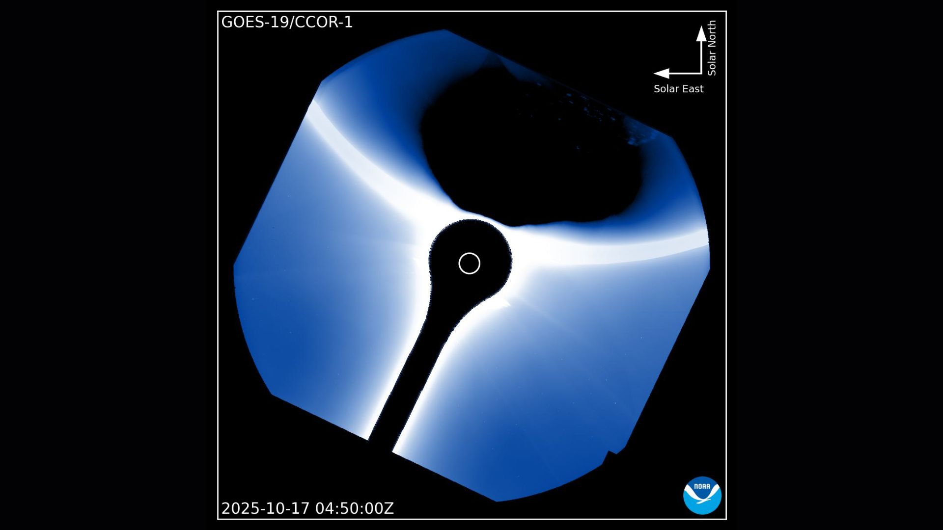
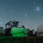
When the U.S. National Oceanic and Atmospheric Administration’s (NOAA) weather satellite GOES-19 turns its gaze toward the sun, scientists don’t expect to see our home planet. But there it was recently — Earth, drifting briefly across the edge of the image captured by the satellite’s CCOR-1 coronagraph.
The photo, shared by NOAA’s Space Weather Prediction Center on X, shows our planet silhouetted by the solar corona.
What is it?
The image was taken by GOES-19, the newest in the Geostationary Operational Environmental Satellite series operated by NOAA. Launched in 2024 and declared operational in early 2025, GOES-19 continuously monitors Earth’s weather and the turbulent space environment surrounding it.
Where is it?
GOES-19 sits around 22,000 miles (36,000 kilometers) above Earth’s equator, in geostationary orbit. At this altitude, orbital speed matches Earth’s rotational speed, allowing satellites to “hover” over patches of the planet.

Why is it amazing?
Among the instruments GOES-19 uses is CCOR-1, short for Compact Coronagraph 1, an experiment designed to capture real-time images of the sun’s outer atmosphere, known as the corona. Normally invisible to the human eye, the corona glows faintly in visible light and extends millions of miles into space. It is from this region that coronal mass ejections (CMEs), vast bursts of plasma and magnetic field, erupt into the solar system, sometimes striking Earth and disturbing satellites, power grids and communication networks.
Though this image may look like a space selfie gone wrong, it shows that CCOR-1 is working as designed; it’s sensitive enough to capture faint solar structures even when an object as bright as Earth enters its view. Earth’s photobomb also provides a useful calibration test, helping scientists understand how CCOR-1 handles stray light, reflections and the brightness contrast between celestial objects.
Want to learn more?
You can learn more about coronagraphs and weather satellites.


Related Posts

Stay Informed With the Latest & Most Important News
Previous Post
Next Post

Advertisement
-
 01Two Black Holes Observed Circling Each Other for the First Time
 -
 02From Polymerization-Enabled Folding and Assembly to Chemical Evolution: Key Processes for Emergence of Functional Polymers in the Origin of Life
 -
 03Astronomy 101: From the Sun and Moon to Wormholes and Warp Drive, Key Theories, Discoveries, and Facts about the Universe (The Adams 101 Series)
 -
 04True Anomaly hires former York Space executive as chief operating officer
 -
 05Φsat-2 begins science phase for AI Earth images
 -
 06Hurricane forecasters are losing 3 key satellites ahead of peak storm season − a meteorologist explains why it matters
 -
 07Binary star systems are complex astronomical objects − a new AI approach could pin down their properties quickly