
Now Reading: Live Coverage: SpaceX Falcon 9 to launch international satellite to keep watch on rising sea levels
-
01
Live Coverage: SpaceX Falcon 9 to launch international satellite to keep watch on rising sea levels

Live Coverage: SpaceX Falcon 9 to launch international satellite to keep watch on rising sea levels
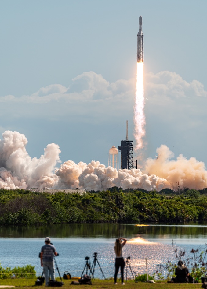
The second spacecraft in a billion-dollar international mission to keep watch rising sea levels is scheduled to launch from California Sunday night, local time, weather permitting.
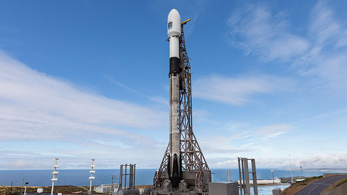
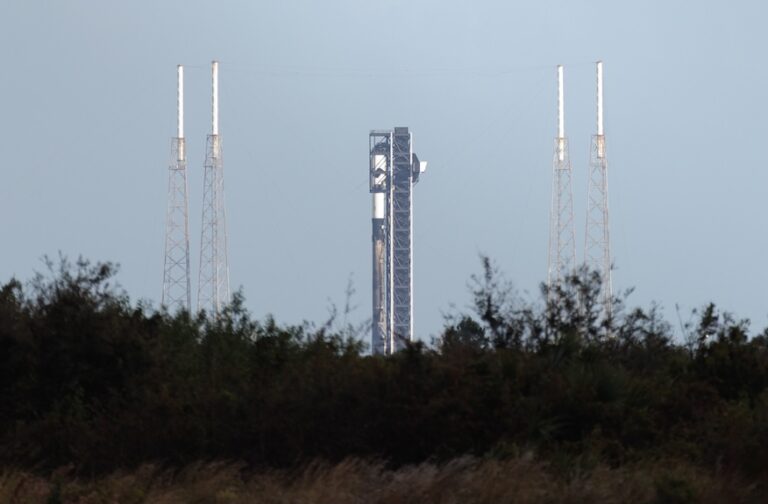
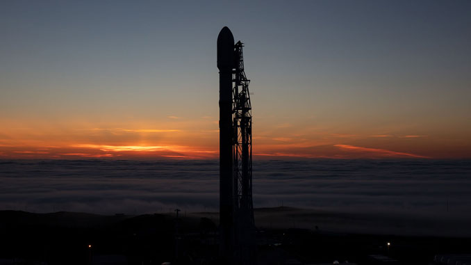
The Sentinel-6B satellite will liftoff atop a SpaceX Falcon 9 rocket from Space Launch Complex-4E at Vandenberg Space Force Base at 9:21:42 p.m. PST (12:21:42 a.m. EST / 0521:42 UTC), almost exactly five years after its twin, the Sentinel-6 Michael Freilich, launched from the same pad.
Spaceflight Now will have live coverage starting about one hour prior to launch.
Meteorologists with the U.S. Space Force’s Space Launch Delta 30, based at Vandenberg, said they were optimistic the weather would cooperate, despite a series of low pressure weather systems bringing heavy rainfall to the West Coast. The probability of a weather rule violation for Sunday’s launch attempt was put at 60 percent.
“California has been one of the wettest places in the United States this weekend, even wetter than, say, the Midwest, which is really abnormal for Southern California,” Launch Weather Officer 1st Lt,. William F. Harbin told a pre-launch news conference Saturday.
Weather conditions are forecast to improve on Monday, Harbin said, with the chance of breaking the weather rules falling to 40 percent in the event of a 24-hour delay.
The Falcon 9 first stage, serial number B1097, is making its third flight. If everything goes as planned, B1097 will return to the launch site, landing approximately 1,400 feet west of the pad from which it took off. The mission will mark the 500th flight of a previously flown Falcon 9 booster.

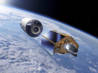
The Sentinel-6B spacecraft, built by Airbus Defence and Space in Germany, will be deployed from the Falcon 9’s second stage 57 minutes into the flight after two burns by the Falcon 9’s second stage.
Sentinel-6B and its predecessor are part of a $1 billion international collaboration to continue a decades-long effort to accurately measure sea heights from orbit. The costs of the project were split evenly between the United States and Europe.
Partnering for the mission are NASA, the European Space Agency (ESA), the European Organisation for the Exploitation of Meteorological Satellites (Eumetsat), the National Oceanic and Atmospheric Administration (NOAA), the European Commission and the French space agency CNES.
From its circular orbit, 830 miles (1,336 km) high, inclined at 66 degrees to the Equator, Sentinel-6B will use cloud-penetrating radar to measure sea level heights down to roughly an inch across 90 percent of the world’s oceans.
“This information lets us monitor significant ocean features like ocean currents, sea level and wave height, and gives us a view into the inner workings of the ocean,” said Karen St. Germain, NASA’s director of Earth science. “This information underpins navigation, search and rescue and industries like commercial fishing and shipping, and these measurements form the basis for us, flood predictions for coastal infrastructure, real estate, energy storage, sites and other assets along our shoreline.”
In line with Trump Administration policies, mission officials have made no mention of climate change, which scientists say is a major factor driving rising sea levels.


Related Posts
Stay Informed With the Latest & Most Important News
Previous Post
Next Post


Advertisement
-
 01Two Black Holes Observed Circling Each Other for the First Time
 -
 02From Polymerization-Enabled Folding and Assembly to Chemical Evolution: Key Processes for Emergence of Functional Polymers in the Origin of Life
 -
 03Astronomy 101: From the Sun and Moon to Wormholes and Warp Drive, Key Theories, Discoveries, and Facts about the Universe (The Adams 101 Series)
 -
 04True Anomaly hires former York Space executive as chief operating officer
 -
 05Φsat-2 begins science phase for AI Earth images
 -
 06Hurricane forecasters are losing 3 key satellites ahead of peak storm season − a meteorologist explains why it matters
 -
 07Binary star systems are complex astronomical objects − a new AI approach could pin down their properties quickly