Now Reading: APPLICATIONS OPEN FOR COHORT 4 OF SDA TAP LAB – CATALYST CAMPUS MINI ACCELERATOR
-
01
APPLICATIONS OPEN FOR COHORT 4 OF SDA TAP LAB – CATALYST CAMPUS MINI ACCELERATOR
APPLICATIONS OPEN FOR COHORT 4 OF SDA TAP LAB – CATALYST CAMPUS MINI ACCELERATOR

Catalyst Campus is proud to announce they are now accepting applications for Cohort 4 of the SDA TAP Lab – Catalyst Campus Mini Accelerator, a high-impact accelerator program designed to connect emerging technology companies with national security needs.
Over an intensive two-month program beginning February 17, 2026, selected companies will engage in technical workshops, one-on-one mentorship, and direct collaboration with SDA and national defense stakeholders. Programming includes an in-person session from February 24 to March 6, 2026, at Catalyst Campus in Colorado Springs, CO.
Companies selected will gain:
- Access to government and industry subject matter experts
- Hands-on support with SDA TAP Lab onboarding
- Guidance in shaping product roadmaps to align with real SDA mission needs
- A direct path to potential integration with Project Apollo following program completion
The SDA TAP Lab – Catalyst Campus Mini Accelerator fosters a critical pipeline of innovation by enabling early-stage and dual-use companies to mature technologies that directly contribute to space domain awareness and the broader Department of Defense (DoD) mission. The fourth cohort will focus on engaging companies whose capabilities align with key problem sets currently being addressed by the SDA TAP Lab through Project Apollo. Areas of interest for this cohort include:
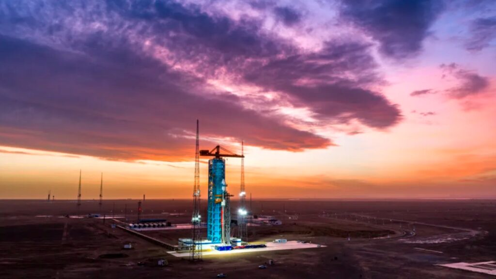
SDA TAP Lab Problem 1: Using commercial or public imagery, detect the start of a space launch cycle automatically.
SDA TAP Lab Problem 3: Using seismic data, commercially available cell-phone accelerometer data, or weather data, detect the time and location of foreign space launches automatically.
SDA TAP Lab Problem 7: Using orbital data and/or knowledge of sensors and satellites, develop a sensor search technique that maximizes the probability of reacquiring a satellite or space launch vehicle. The technique must be valid for ground or space based EO, IR, RF, or RADAR sensors.
SDA TAP Lab Problem 9: Using orbital data, develop a specialized technique to process uncorrelated tracks (UCTs) and promote candidate orbits generated from UCTs which may actively manage their optical or radar signatures or otherwise be evading detection, tracking, and identification.
SDA TAP Lab Problem 11: Using orbital data, automatically detect separation events and classify them as either 1) sub-satellite deployment, 2) Debris generating event. Further sub-classify debris generating events, as either: Shedding, Explosion, Impact.
SDA TAP Lab Problem 16: Since we assume surprise may come through camouflage, concealment, deception or maneuver (CCDM) we must interrogate targets for evidence of CCDM. Develop techniques to evaluate whether combinations of the following are true of UCT candidate orbits, or satellites in a catalog classified as unknown (UNK), debris (DEB), rocket body (R/B), or an inactive payload:
Object is stable
Stability has changed
SDA TAP Lab Problem 20: Generate a radio frequency (RF) pattern of life for individual satellites. This may include typical bandwidth, channel, mode, center frequency, power, encryption, or beam pointing.
Companies interested in applying should review the SDA problem statements and application criteria at: https://catalystcampus.org/programs/miniaccelerator/
Organizations with innovative space or dual-use technologies aligned with the SDA TAP Lab’s mission are highly encouraged to apply.
About Catalyst Campus:
CCTI is a collaborative ecosystem where industry, small business, entrepreneurs, startups, government, academia, and investors intersect with Colorado’s aerospace and defense industry to create community, spark innovation, and stimulate business growth.
Stay Informed With the Latest & Most Important News
Previous Post
Next Post
-
 01From Polymerization-Enabled Folding and Assembly to Chemical Evolution: Key Processes for Emergence of Functional Polymers in the Origin of Life
 -
 02Two Black Holes Observed Circling Each Other for the First Time
 -
 03How New NASA, India Earth Satellite NISAR Will See Earth
 -
 04Thermodynamic Constraints On The Citric Acid Cycle And Related Reactions In Ocean World Interiors
 -
 05Φsat-2 begins science phase for AI Earth images
 -
 06Hurricane forecasters are losing 3 key satellites ahead of peak storm season − a meteorologist explains why it matters
 -
 07Binary star systems are complex astronomical objects − a new AI approach could pin down their properties quickly


