
17/02/2026
380 views
13 likes
Earth’s river deltas, home to about 5% of the global population and some of the world’s major cities, are experiencing subsidence, which exacerbates the risks from sea-level rise. The Copernicus Sentinel-1 mission has captured a decade’s worth of data showing land sinking faster than previously thought.
Ten of the world’s 34 biggest cities are built on river deltas and as such, these low-lying lands are often home to key infrastructure such as transport hubs that support trade links. They are also critical rural and ecological zones that support both agriculture and biodiversity.
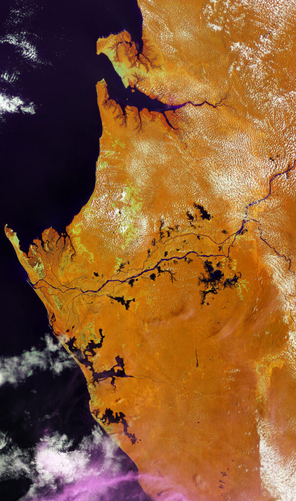
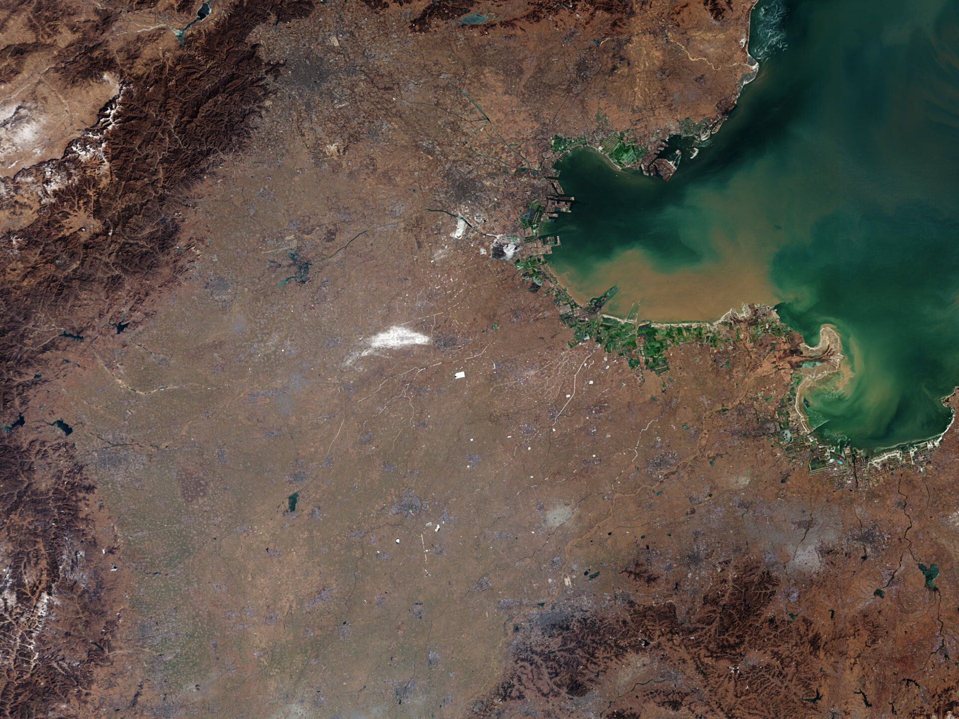
Some of the major delta cities include Kolkata (in the Ganges river delta), Alexandria (Nile), Shanghai (Yangtze), Bangkok (Chao Phraya), Ho Chi Minh City (Mekong) and New Orleans (Mississippi). These cities and their surrounding lowlands are on the frontline of climate change. But until now scientists have lacked consistent, global data on how fast deltas are actually sinking.
Deltas face double risks
The extent of subsidence on a global level, and the reasons behind it, are analysed in a study, published on 14 January in Nature.
Using a decade of radar observations produced by Copernicus Sentinel-1, the researchers mapped surface elevation changes across 40 major river deltas worldwide. The results are striking: more than half of the deltas studied are subsiding at rates faster than 3 millimetres per year. This means that subsidence is a huge challenge for delta regions – posing a risk potentially even greater than current rates of global sea-level rise.
The interactive global map (below) shows the rate of land subsidence in global deltas. Each circle represents the location of the 40 deltas evaluated in the study. Each one is colour-coded by the average land subsidence rate.