
Now Reading: Drones Scanning Earth’s Glaciers Are Paving the Way for Future Mars Helicopters
1
-
01
Drones Scanning Earth’s Glaciers Are Paving the Way for Future Mars Helicopters

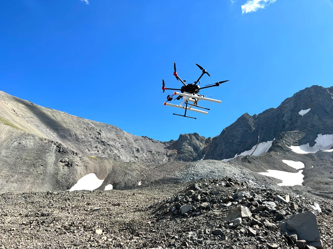

Mars has lots of glaciers located along its mid-latitudes. We’ve known this for years thanks to the Mars Reconnaissance Orbiter’s (MRO’s) SHARAD sounder. But, despite all of the excellent data it’s managed to gather, SHARAD doesn’t have high enough resolution to accurately measure the boundary between the glacier itself and the rocky material that has been deposited on top of it over the course of billions of years. A new study, published in the journal JGR Planets, details a potential method of finding that boundary—by using a drone.


Related Posts


Stay Informed With the Latest & Most Important News
[mc4wp_form id=314]
Previous Post
Next Post


Advertisement
Loading Next Post...
Popular Now
-
 01Two Black Holes Observed Circling Each Other for the First Time
 -
 02From Polymerization-Enabled Folding and Assembly to Chemical Evolution: Key Processes for Emergence of Functional Polymers in the Origin of Life
 -
 03Astronomy 101: From the Sun and Moon to Wormholes and Warp Drive, Key Theories, Discoveries, and Facts about the Universe (The Adams 101 Series)
 -
 04True Anomaly hires former York Space executive as chief operating officer
 -
 05Φsat-2 begins science phase for AI Earth images
 -
 06Hurricane forecasters are losing 3 key satellites ahead of peak storm season − a meteorologist explains why it matters
 -
 07Binary star systems are complex astronomical objects − a new AI approach could pin down their properties quickly
Scroll to Top