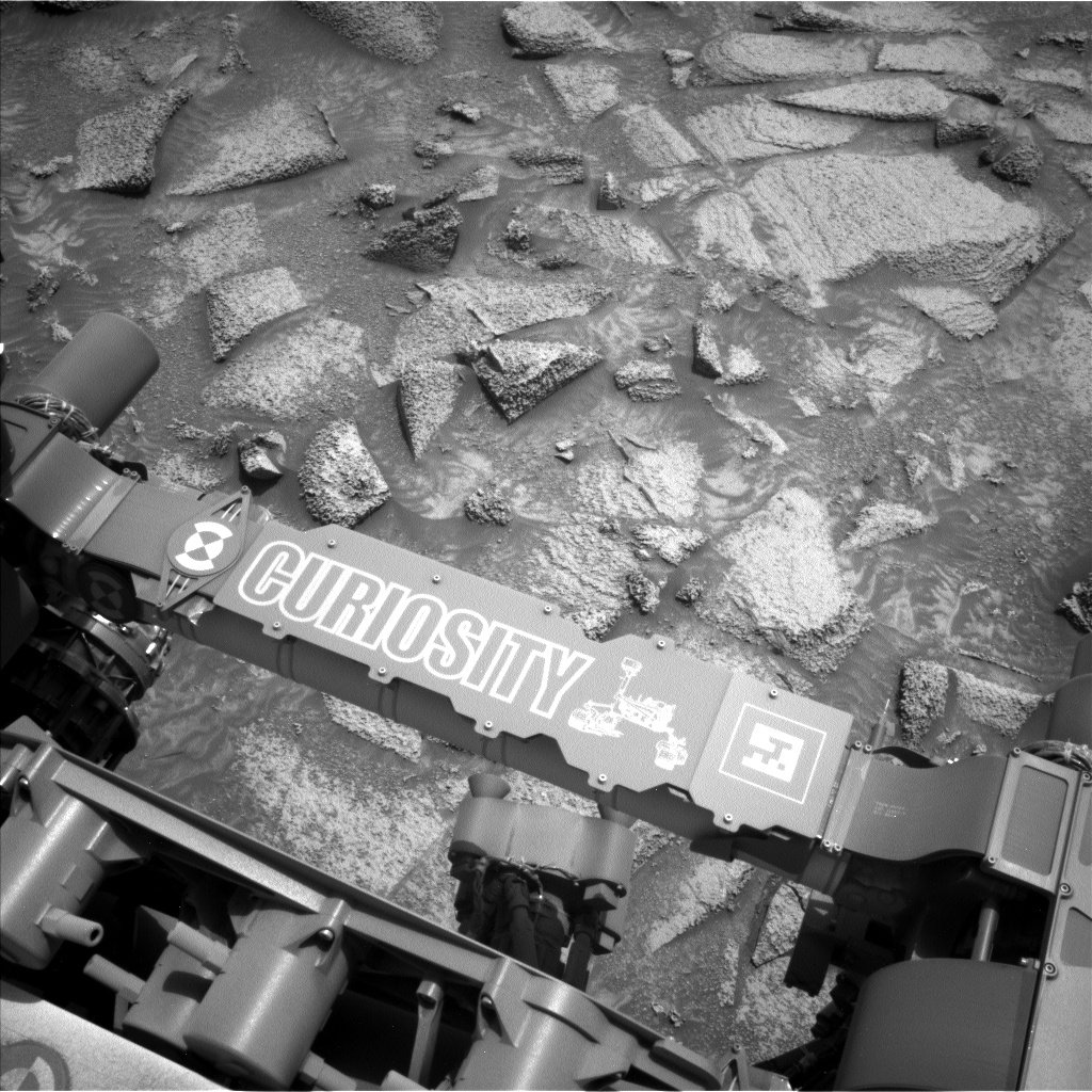
If you read this blog very often, you know that nearly every time the rover stops for science, MAHLI and APXS focus on interesting (and accessible!) rocks as targets. The rover science team is, after all, built with a lot of geologists. But geology is not all rocks, all the time — sand is former rock that if buried and pressurized long enough will become rock again. Today was time for sand to shine, as the workspace was cut by troughs of sand of different colors and brightnesses, and it had been nearly 500 sols since we acquired our last dedicated sand measurement with APXS and MAHLI. The “Pumice Flat” target was one of the brighter sand patches while “Kidney Lake” was one of the darker sand patches. APXS uses a special placement mode over sand targets so the instrument gets close, but not too close, to the loose material which could foul up the instrument. Not-rock was also the purview of our environmental observations. Navcam is scheduled for imaging seeking out clouds and dust devils, and changes in the sand and dust on top of the rover deck. Both Navcam and Mastcam will make observations to measure the amount of dust in the atmosphere. REMS will keep track of our weather with regular measurements, RAD will monitor our radiation environment, and DAN will look through rock for signs of water beneath our drive path.
Related Posts

Hubble Views a Galactic Supernova Site
This image features a relatively small galaxy known as UGC 5189A, which is located about 150 million light-years away in the constellation…

NASA’s LRO Finds Photo Op as It Zips Past SKorea’s Danuri Moon Orbiter
NASA’s LRO (Lunar Reconnaissance Orbiter), which has been circling and studying the Moon for 15 years, captured several images of…

Hubble Views a Galaxy Settling into Old Age
NGC 3384, visible in this image, has many of the characteristic features of so-called elliptical galaxies. Such galaxies glow diffusely, are…
