
Now Reading: Curiosity Blog, Sols 4607-4608: Deep Dip
-
01
Curiosity Blog, Sols 4607-4608: Deep Dip

3 min read
Curiosity Blog, Sols 4607-4608: Deep Dip

Written by Deborah Padgett, MSL OPGS Task Lead at NASA’s Jet Propulsion Laboratory
Earth planning date: Monday, July 21, 2025
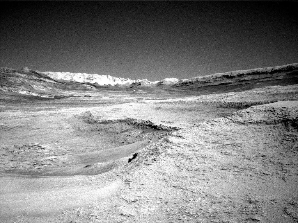
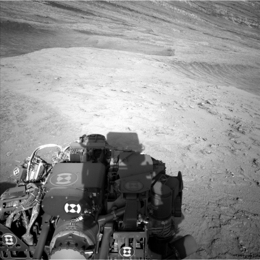
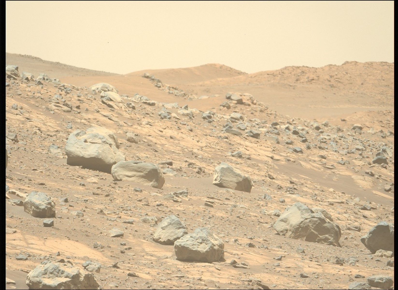
Curiosity continues our exploration of the fractured boxwork terrain on the slopes of Mount Sharp. After a successful 5-meter drive (about 16 feet), our rover is resting in a hollow on its way to a boxwork ridge viewpoint. Over the weekend, Curiosity began an atmospheric observation with the SAM instrument, which will continue into today’s plan. Because the SAM instrument is complex and powerful, it uses a great deal of energy when it operates, causing what we call a “deep dip” in the battery charge level. This means that we have to wait a bit after the SAM observations complete for the battery to recharge enough for Curiosity to observe its surroundings with other science instruments, or move its arm or wheels. For this reason, the plan today does not include a drive, and contact science at this location will be done on the second sol of the plan.
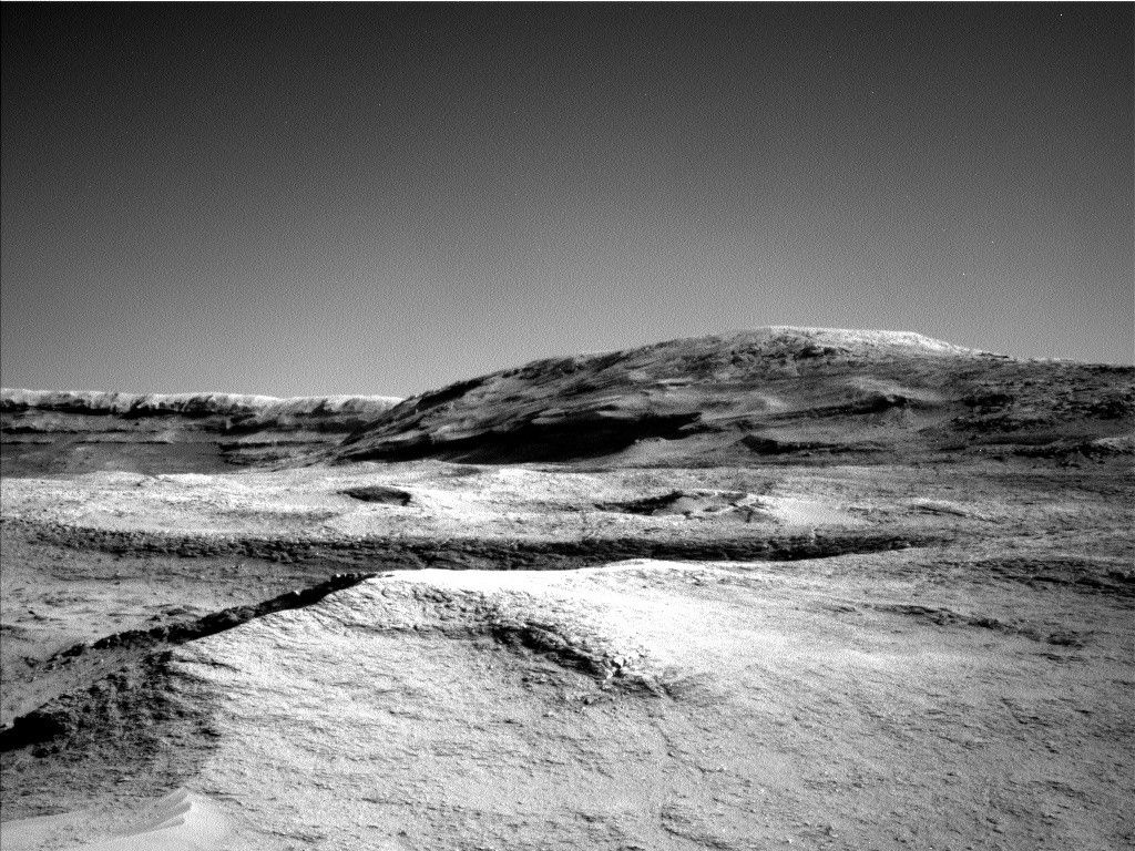
On Sol 4607, Curiosity will begin the day with SAM atmospheric composition activity, which will run for several hours. After it finishes, we will use the rover’s navigation camera to perform a cloud altitude observation, looking for cloud shadows on the upper reaches of Mount Sharp, and clouds drifting by overhead at the zenith. Overnight, Curiosity’s battery will recharge, allowing us to perform a targeted science block on the morning of Sol 4608. This starts with Navcam observations of dust opacity across the floor of Gale Crater, then a measurement of dust in the air toward the Sun with Mastcam. Curiosity then turns Mastcam toward the ridge ahead to obtain a 15×1 mosaic on target “Cueva De Los Vencejos Y Murcielagos (Cave of Swifts and Bats).” Afterwards, Mastcam will look back along Curiosity’s tracks, hoping to see freshly broken rocks and determine the texture of disturbed ground. Next, ChemCam’s laser spectrograph will zap a nodular rock pillar named for the famous high-altitude “Lake Titicaca” bordering Bolivia and Peru. A second ChemCam observation with the RMI telescopic camera will study stratigraphy on the Mishe Mokwa butte with a 5×2 image mosaic. Mastcam will finish off this science block by looking at the pits left behind by the ChemCam laser on target “Lake Titicaca.”
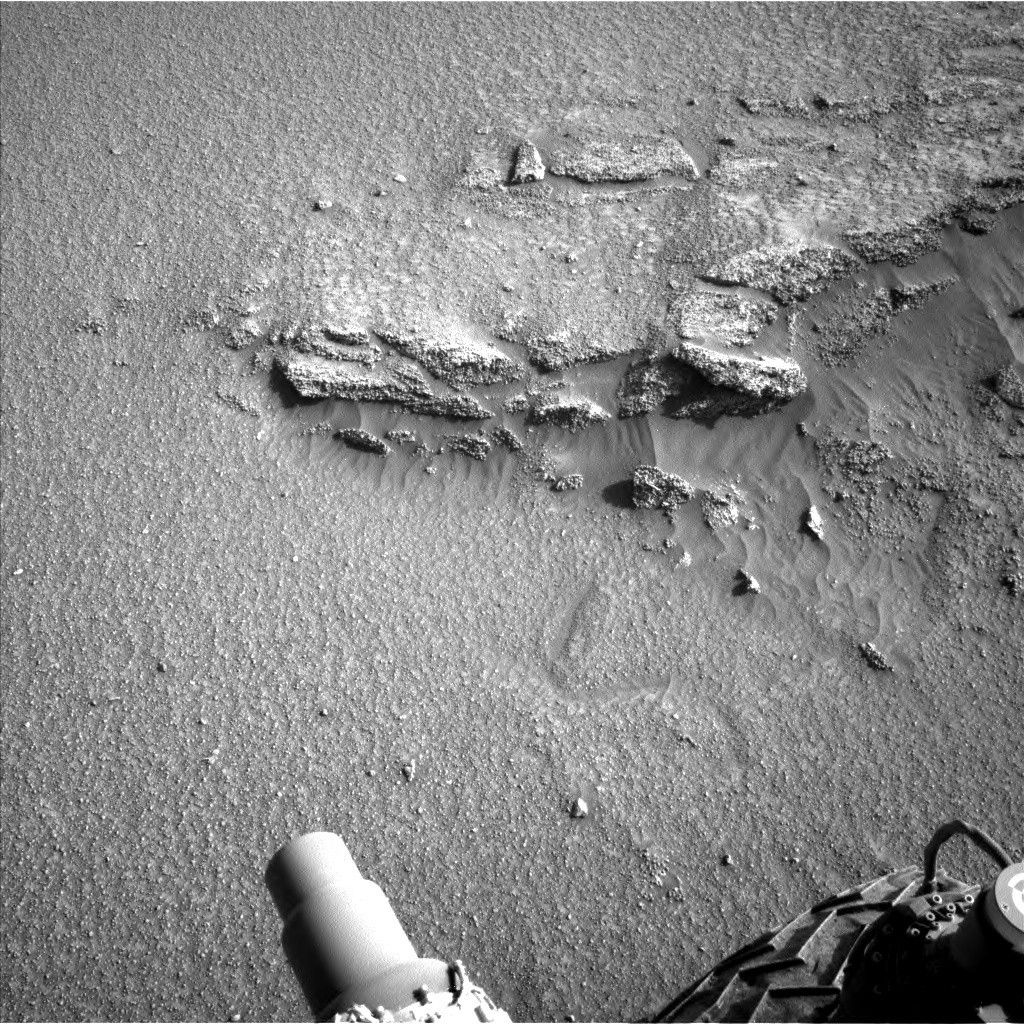
In the afternoon, Curiosity’s arm will reach out to brush the dust from the bedrock target “La Tranquita,” then observe it with the MAHLI microscopic imager and APXS. MAHLI and APXS will also investigate plate-like rock formations at target “Aqua Dulce.” A third target with more complex rock structures dubbed “Paposo,” after a natural monument along the Pacific Coast of northern Chile, will be imaged only by MAHLI. The next morning will include another targeted science block. Curiosity will then drive away toward the next viewpoint in the boxwork terrain of Mars.
Share
Details
Related Terms
Explore More


Related Posts


Stay Informed With the Latest & Most Important News
Previous Post
Next Post


Advertisement
-
 01Two Black Holes Observed Circling Each Other for the First Time
 -
 02From Polymerization-Enabled Folding and Assembly to Chemical Evolution: Key Processes for Emergence of Functional Polymers in the Origin of Life
 -
 03Astronomy 101: From the Sun and Moon to Wormholes and Warp Drive, Key Theories, Discoveries, and Facts about the Universe (The Adams 101 Series)
 -
 04True Anomaly hires former York Space executive as chief operating officer
 -
 05Φsat-2 begins science phase for AI Earth images
 -
 06Hurricane forecasters are losing 3 key satellites ahead of peak storm season − a meteorologist explains why it matters
 -
 07Binary star systems are complex astronomical objects − a new AI approach could pin down their properties quickly