
Now Reading: EarthDaily in Orbit: From First Launch to Commercial Operations
-
01
EarthDaily in Orbit: From First Launch to Commercial Operations


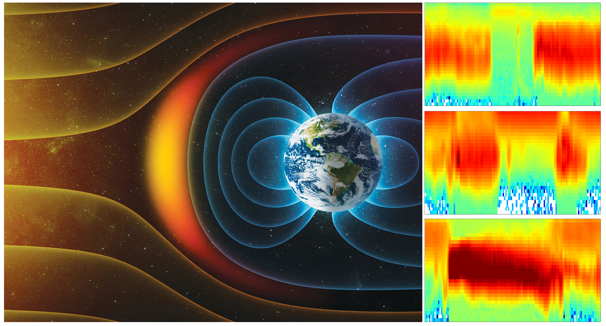
As this article is published at 9:00 am ET, the first EarthDaily satellite, EDC-01, is in low Earth orbit at approximately Lat -17.289°, Long -15.741°, following its path around the planet. It is no longer a model or a prototype, but the beginning of a working system in motion.
In commercial Earth observation, first light is often marked by the first usable image – a visible signal that a satellite is alive and operating. For many missions, that is a headline.
At EarthDaily, our priority was imagery that meets our exacting specifications. The objective is precise change detection. That requires consistency above all else: imaging the same place, at the same time of day, from the same angle, so that variation reflects real-world change rather than sensor variability.
“From the beginning, our objective was not simply to launch satellites, but to build a change detection system that performs at operational scale. Validating that system in orbit before constellation expansion was essential. With this milestone achieved, we are ready for what comes next.”
Don Osborne, CEO, EarthDaily
The EarthDaily Constellation was designed for that purpose, to serve as a stable, repeatable measurement system for advanced scientific and AI applications.
It has been an exciting journey to get here.
Today, we are sharing early images from our visible and near infrared sensor (VNIR) as confirmation that the system has reached the initial performance thresholds defined for our mission.
Our imagery spans 22 spectral bands across visible, near-infrared, shortwave infrared, and thermal regimes, delivering industry-grade radiometric performance comparable to leading public missions such as Sentinel-2 and with improved spatial resolution and coverage.
With six additional satellites scheduled for launch in May, and the rest available for launch later this year, the EarthDaily constellation becomes commercially operational in Summer of 2026, delivering daily, consistent coverage at cadence.

We Sent One to Learn for the Rest
In June 2025, the first EarthDaily satellite entered space. We knew that our goal of delivering daily, consistent imagery needed more than marketing-ready first images. We needed robust, on-orbit testing to ensure every system is working correctly prior to launching the full constellation.
Since launch, imaging operations have scaled, visible and near-infrared commissioning has progressed, and shortwave infrared and thermal validation continues. Over months of sustained operation, the system stabilized within defined performance margins.
The first satellite, EDC-01, was launched well ahead, while the other 9 were completing construction, to validate the complete architecture under operational conditions. Its role was to exercise the entire stack under real orbital conditions before scale was introduced.
We recognized that rapid deployment of the full constellation is key to delivering value for our customers versus the normal long-term incremental deployment. This choice is rare for our industry.

Prior to launch, the hardware underwent rigorous environmental qualification testing, while the onboard software stack was exercised extensively in simulation. Validation then extended into orbit, enabling full end-to-end verification under true operational conditions. Uplink, downlink, and onboard processing were refined in flight, well ahead of full fleet deployment.
This rigor extended across the program. Our space segment partners – INO for the thermal sensors, Xiphos for the payload electronics and ABB for the integrated payload, and Loft Orbital with Airbus for the satellite platform and spacecraft integration – applied the same discipline. Together, we designed a system engineered for a ten-year operational lifespan, built to sustain stable, science-grade measurement over time.
These early images mark a true inflection point.

Five years ago, this architecture existed in models, simulations, and alignment labs. Today, it is in orbit, operating as designed, meeting the standards we set, and proving itself under real-world conditions.
And EDC-01 will not be alone for long.
What comes next is scale and the deeper engineering story behind it. In our next article, we will share how we solved for sixteen: sixteen imaging assemblies working in concert to deliver one coherent, science-grade measurement system.


Related Posts
Stay Informed With the Latest & Most Important News
Previous Post
Next Post


Advertisement
-
 01Two Black Holes Observed Circling Each Other for the First Time
 -
 02From Polymerization-Enabled Folding and Assembly to Chemical Evolution: Key Processes for Emergence of Functional Polymers in the Origin of Life
 -
 03Astronomy 101: From the Sun and Moon to Wormholes and Warp Drive, Key Theories, Discoveries, and Facts about the Universe (The Adams 101 Series)
 -
 04True Anomaly hires former York Space executive as chief operating officer
 -
 05Φsat-2 begins science phase for AI Earth images
 -
 06Hurricane forecasters are losing 3 key satellites ahead of peak storm season − a meteorologist explains why it matters
 -
 07Binary star systems are complex astronomical objects − a new AI approach could pin down their properties quickly