
Now Reading: ESA’s Arctic Weather Satellite adds power to forecasts
-
01
ESA’s Arctic Weather Satellite adds power to forecasts


18/08/2025
348 views
14 likes
Although ESA’s small Arctic Weather Satellite was built as a demonstrator for future constellation called EPS-Sterna, the European Centre for Medium-Range Weather Forecasts is now incorporating its data into its operational weather forecast system – highlighting the fact that small satellites delivered in record time can achieve great things.
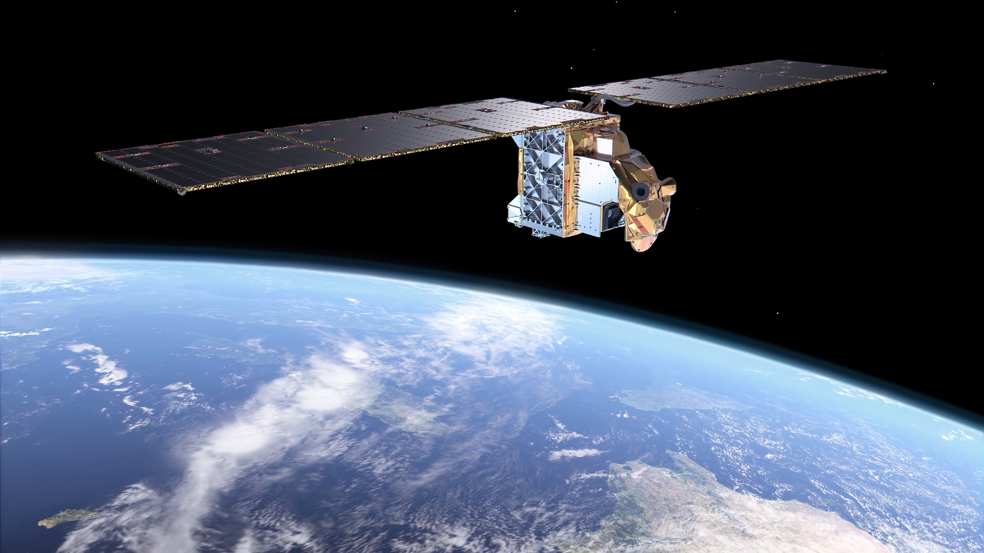
Conceived, built and launched in just three years and within a tight budget, the Arctic Weather Satellite delivers high-value atmospheric humidity and temperature data from a compact platform.
The European Centre for Medium-Range Weather Forecasts (ECMWF) is the first centre to use these new observations operationally, which are leading to a robust improvement in forecasts.
The data, along with numerous other observations, are merged with a short-range forecast that is guided by earlier measurements to produce the most accurate possible snapshot of the Earth’s current state. This analysis then serves as the starting point for generating weather forecasts.
Information from the Arctic Weather Satellite’s microwave radiometer complements data from similar sensors on much larger satellites provided by organisations such as the European Organisation for the Exploitation of Meteorological Satellites (Eumetsat), the US National Oceanic and Atmospheric Administration (NOAA) and the China Meteorological Administration (CMA).
For the first time, the Arctic Weather Satellite operates in the ‘sub-mm’ spectral band – wavelengths shorter than 1 mm – to also provide fresh insights into ice clouds, as shown in the image above. The mission proves that high-quality, passive microwave measurements can be delivered by a small, cost-efficient satellite.
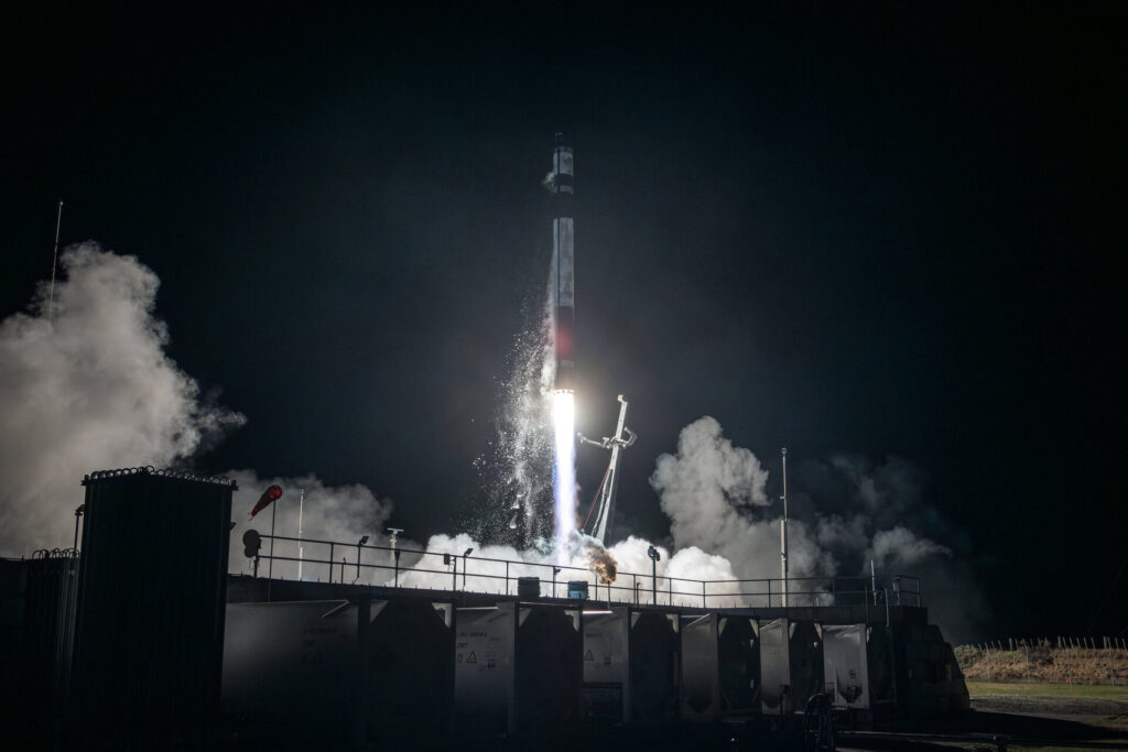
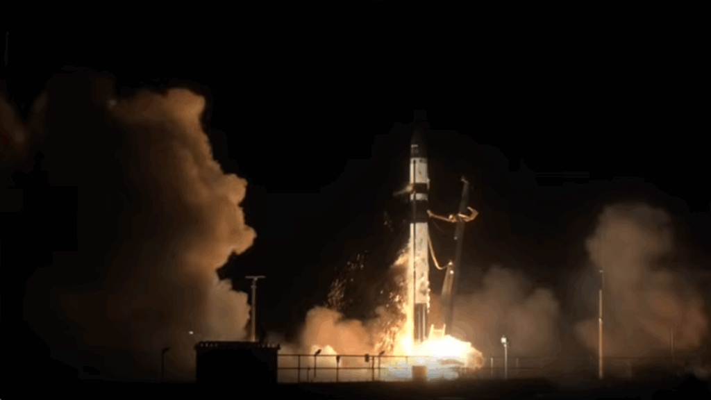
Launched just a year ago, the mission – developed as a prototype within three years and for a fraction of the cost of a traditional Earth-observing mission – has already demonstrated that the New Space approach of building quickly and at low cost could be applied to a future constellation of similar satellites.
And now, ECMWF’s decision to assimilate its data into their forecasting system stands as a strong endorsement of the mission’s excellence.
The image just below, for example, shows how the mission is improving wind forecasts, improvements show up in blue. The last image shows how the mission’s new325 GHz channel can be used to reveal colder brightness temperatures which then offer a clearer view of typhoons.
Ville Kangas, ESA’s Arctic Weather Project Manager, said, “We are extremely proud of this mission. While we were confident that our New Space approach to developing and building the satellite would succeed, its performance in orbit has far exceeded our expectations.
“And given that it is only a demonstrator – a precursor to a potential constellation of satellites capable of delivering an almost continuous stream of data for very short-term weather forecasting in the Arctic and beyond – we couldn’t be more delighted.”
Weighing just 125 kg and measuring 1.0 m × 5.3 m × 0.9 m, the Arctic Weather Satellite is a small satellite. It carries a 19-channel cross-track scanning microwave radiometer that yields high-resolution vertical profiles of atmospheric temperature and humidity in all weather conditions.
Despite its name, the Arctic Weather Satellite collects measurements around the globe. However, its humidity data are particularly valuable for weather forecasting across the Arctic where concentrations of water vapour can change rapidly.
The impacts of the climate crisis are being felt more strongly in the Arctic than other parts of the world. Nevertheless, what happens in the Arctic doesn’t stay in the Arctic, so these changes are affecting the Earth system as a whole. Information from the Arctic Weather Satellite and the potential constellation, called EPS-Sterna, will also support research into climate change.
The proposed constellation would comprise six satellites for higher temporal coverage, and each satellite would be replenished three times to ensure data is delivered for years to come.
It is envisaged that ESA would build the EPS-Sterna constellation in cooperation with Eumetsat, following the established model used for Europe’s other meteorological missions, namely the geostationary Meteosat and the polar-orbiting MetOp missions.
The Meteosat geostationary satellites, positioned 36 000 km above the equator, return images every 15 minutes but they have no visibility of higher latitudes closer to the poles, making them unsuitable for Arctic weather forecasting. The MetOp satellites do return data over the poles as they circle Earth from pole to pole in a lower orbit, but it can take up to 24 hours to achieve global coverage. The EPS-Sterna constellation of six satellites would fill the temporal coverage gap.
If the EPS-Sterna constellation becomes a reality it would complement the MetOp Second Generation, Joint Polar Satellite System and Fengyun polar orbiting weather missions, doubling the number of orbital planes from three to six.
While the decision on EPS-Sterna is still to be made, the Arctic Weather Satellite is certainly already proving its worth: successfully built as a New Space mission, hailed as excellent, and now its data are being used operationally – not bad for a prototype.


Related Posts

Stay Informed With the Latest & Most Important News
Previous Post
Next Post


Advertisement
-
 01Two Black Holes Observed Circling Each Other for the First Time
 -
 02From Polymerization-Enabled Folding and Assembly to Chemical Evolution: Key Processes for Emergence of Functional Polymers in the Origin of Life
 -
 03Astronomy 101: From the Sun and Moon to Wormholes and Warp Drive, Key Theories, Discoveries, and Facts about the Universe (The Adams 101 Series)
 -
 04True Anomaly hires former York Space executive as chief operating officer
 -
 05Φsat-2 begins science phase for AI Earth images
 -
 06Hurricane forecasters are losing 3 key satellites ahead of peak storm season − a meteorologist explains why it matters
 -
 07Binary star systems are complex astronomical objects − a new AI approach could pin down their properties quickly