Now Reading: Federating Europe’s Earth Observation Ground Segment: The DOMINO-E Proof of Concept
-
01
Federating Europe’s Earth Observation Ground Segment: The DOMINO-E Proof of Concept
Federating Europe’s Earth Observation Ground Segment: The DOMINO-E Proof of Concept
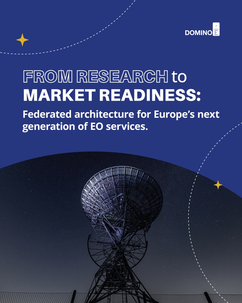
As Europe prepares its next generation of Earth-Observation (EO) missions, a less visible but equally strategic challenge unfolds on the ground — how to manage the growing complexity of satellite constellations, communication networks, and user services. The EU-funded DOMINO-E project, completed in autumn 2025, offers a tangible answer. Over three years, its partners designed, integrated, and validated a federated ground-segment service connecting mission planning, communication management, and user interaction through shared interfaces. Each of the three services — the Coverage Service (CS), the Satellite Communication and Resource Management Service (SCRMS), and the Virtual Assistant Service (VAS) — demonstrates how federation can transform Europe’s EO infrastructure into a more resilient ecosystem.
Planning Without Borders
At the core of this federation lies the Coverage Service, developed by Onera, Capgemini and Airbus Defence and Space. Its purpose is to coordinate multi-mission planning, ensuring that every observation opportunity is exploited efficiently, without redundant acquisitions across constellations. In validation tests, the Coverage Service was deployed within a Kubernetes-based cloud environment and evaluated under realistic operational conditions: the system then calculated optimized coverage plans across cooperating satellites.
The results were unequivocal. The federated scheduler achieved coverage efficiencies exceeding 95%, while planning latency was reduced by around 40% compared with isolated mission setups. Across the multi-mission test runs, no observation window was missed. The results confirm that collaborative coverage planning can remain deterministic, offering a glimpse of how future EO missions could operate through shared orchestration logic rather than in isolated systems.
Details of the Demonstration Results for the Coverage Service: https://domino-e.eu/wp-content/uploads/2025/10/D6.3_Demonstration-of-the-CS_tbc-by-the-EC.pdf
Managing the Invisible Backbone
If the Coverage Service defines what to observe, the Satellite Communication and Resource Management Service (SCRMS) ensures that the resulting data reach the ground. Developed by ITTI together with Airbus Defence and Space, SCRMS serves as the intelligent intermediary between satellites and ground stations, continuously optimizing how satellite contacts are allocated across a federated network. It balances demand, availability, and cost to make every transmission efficient and reliable.
In a sequence of validation scenarios, SCRMS first demonstrated its ability to generate routine contact plans under normal conditions, then proved its adaptability when faced with simulated data surges. It also withstood deliberate signal interference, revealing a notable resilience against jamming.
When compared to traditional single-station setups, the federated model not only improved efficiency but also reduced the risk of signal congestion and downtime. Jamming was cut by roughly 40%. Contact grouping — a measure of scheduling vulnerability — fell by roughly a third. Equally important, the exercise affirmed the political logic behind the technical one: federation allows capacity sharing among European operators without compromising national autonomy or security.
Details of the Demonstration Results for the Satellite Communication and Resource Menagement Service: https://domino-e.eu/wp-content/uploads/2025/10/D6.4_Demonstration-of-the-CBS_tbc-by-the-EC.pdf
Making Complexity Conversational
While CS and SCRMS streamline machine-to-machine processes, the Virtual Assistant Service brings the user interface to life. Developed by Tilde SIA in Latvia, the VAS enables users to access Earth-Observation data, create programming requests, and modify acquisition parameters through natural-language interaction with an AI-driven assistant.
Two principal scenarios were tested. In the first, users asked the assistant to locate satellite imagery by naming a region of interest and the system automatically translated that request into a STAC API query and retrieved matching previews. Average completion times fell from over two minutes to roughly 80 seconds in human tests — and to under 30 seconds in automated runs.
In the second scenario, the assistant guided users through the process of ordering new satellite acquisitions — defining the area of interest, choosing constellations, adjusting parameters, and submitting the request to the Coverage Service. These tasks, which took four minutes via a manual interface, were completed in under a minute. Human evaluators rated 85% of responses as correct.
Behind this apparent simplicity lies a sophisticated hybrid architecture that combines rule-based workflows with LLM reasoning and retrieval-augmented generation. This allows deterministic mission control where needed, and open-ended reasoning where human communication naturally requires flexibility.
Details of the Demonstration Results for the Virtual Assistant Service: https://domino-e.eu/wp-content/uploads/2025/10/D6.5_Demonstration-of-the-VAS_tbc-by-the-EC.pdf
A Federated Future
The three modules — Coverage Service, SCRMS, and VAS — operated within a shared testbed: a cloud-native environment hosted by Capgemini that seamlessly integrated simulators, dispatchers, and monitoring tools into a single operational framework. A single dispatcher could trigger an image search via VAS, generate a programming request through the Coverage Service, and watch the communication chain scheduled by SCRMS. The loop closed seamlessly, demonstrating an operational federation across planning, communication, and user access layers.
Taken together, the experiments constitute a complete proof-of-concept for a federated Earth-Observation ground segment. The results confirm that such integration enhances both operational efficiency and Europe’s strategic autonomy in space.
Acknowledgements
Project partners: AIRBUS, Capgemini, ITTI, OIKOPLUS, Tilde SIA.
This project received funding from the European Union’s Horizon Europe programme (Grant No. 101082230).
Stay Informed With the Latest & Most Important News
Previous Post
Next Post
-
 01Two Black Holes Observed Circling Each Other for the First Time
 -
 02From Polymerization-Enabled Folding and Assembly to Chemical Evolution: Key Processes for Emergence of Functional Polymers in the Origin of Life
 -
 03Φsat-2 begins science phase for AI Earth images
 -
 04Hurricane forecasters are losing 3 key satellites ahead of peak storm season − a meteorologist explains why it matters
 -
 05Thermodynamic Constraints On The Citric Acid Cycle And Related Reactions In Ocean World Interiors
 -
 06Binary star systems are complex astronomical objects − a new AI approach could pin down their properties quickly
 -
 07Worlds Next Door: A Candidate Giant Planet Imaged in the Habitable Zone of α Cen A. I. Observations, Orbital and Physical Properties, and Exozodi Upper Limits


