
Now Reading: From Space to Soil: How NASA Sees Forests
1
-
01
From Space to Soil: How NASA Sees Forests


1 min read
From Space to Soil: How NASA Sees Forests
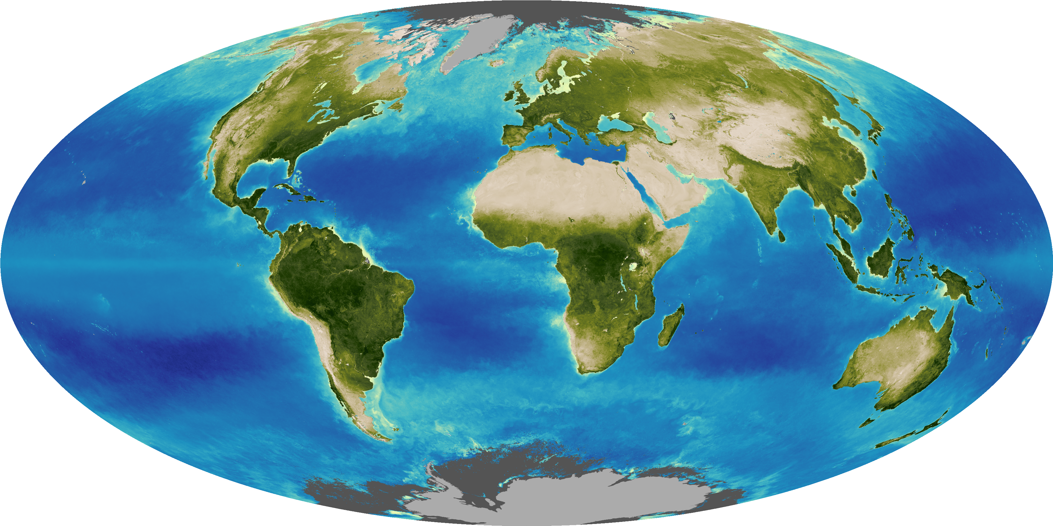
NASA uses satellite lidar technology to study Earth’s forests, key carbon sinks. The GEDI mission maps forest height and biomass from the International Space Station, while ICESat-2 fills polar data gaps. Together, they enable a first-of-its-kind global biomass map, guiding smarter forest conservation and carbon tracking.
Share
Details
Last Updated
Jun 17, 2025
Editor
Earth Science Division Editorial Team
Related Terms
Explore More


Related Posts


Stay Informed With the Latest & Most Important News
[mc4wp_form id=314]
Previous Post
Next Post


Advertisement
Loading Next Post...
Popular Now
-
 01Two Black Holes Observed Circling Each Other for the First Time
 -
 02From Polymerization-Enabled Folding and Assembly to Chemical Evolution: Key Processes for Emergence of Functional Polymers in the Origin of Life
 -
 03Astronomy 101: From the Sun and Moon to Wormholes and Warp Drive, Key Theories, Discoveries, and Facts about the Universe (The Adams 101 Series)
 -
 04True Anomaly hires former York Space executive as chief operating officer
 -
 05Φsat-2 begins science phase for AI Earth images
 -
 06Hurricane forecasters are losing 3 key satellites ahead of peak storm season − a meteorologist explains why it matters
 -
 07Binary star systems are complex astronomical objects − a new AI approach could pin down their properties quickly
Scroll to Top