
Now Reading: Mount Etna’s terrifying eruption from orbit | Space photo of the day for June 4, 2025
-
01
Mount Etna’s terrifying eruption from orbit | Space photo of the day for June 4, 2025

Mount Etna’s terrifying eruption from orbit | Space photo of the day for June 4, 2025
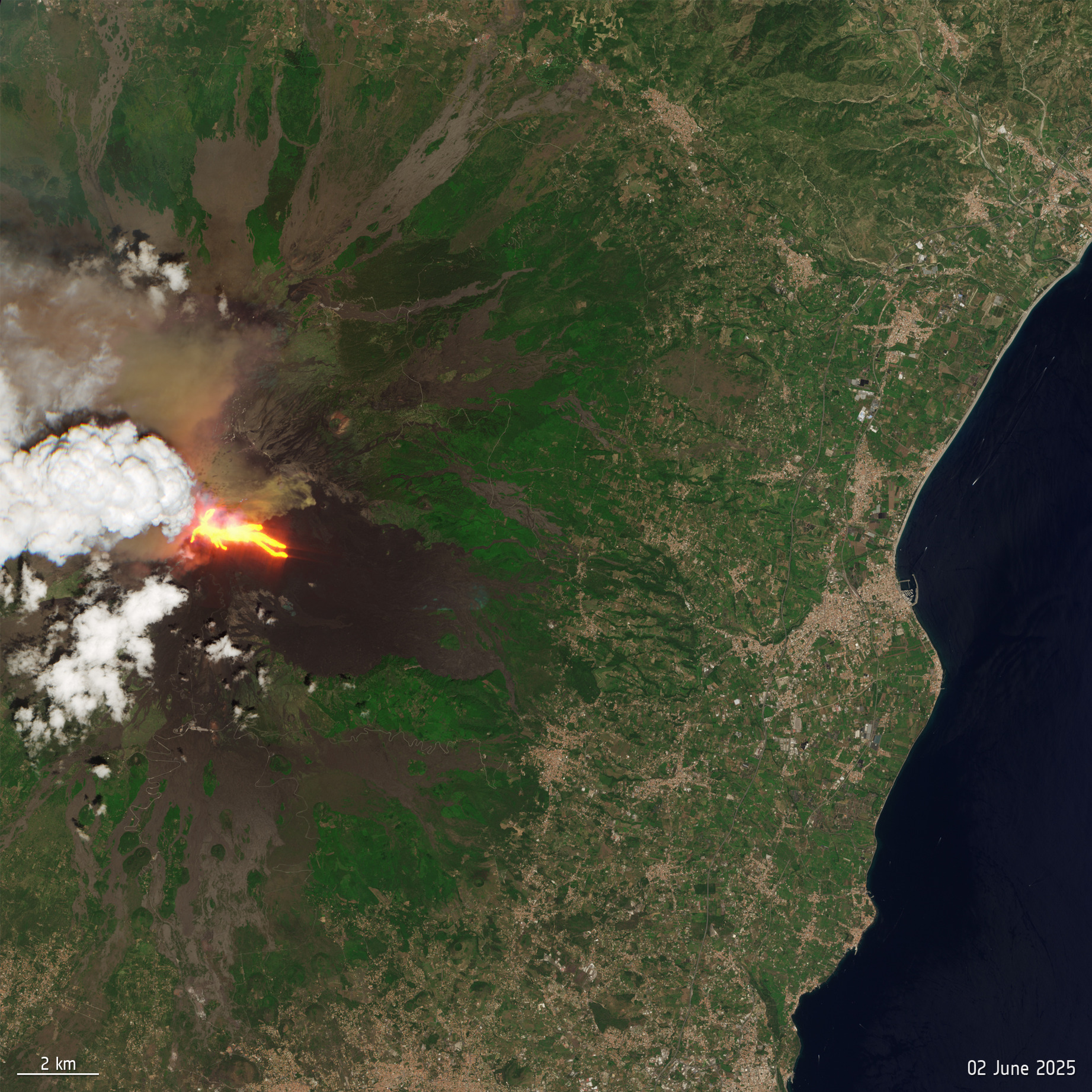
On June 2, 2025 around 10 a.m. local time, residents of the island of Sicily began fleeing as Europe’s largest volcano suddenly erupted.
What is it?
Mount Etna’s eruption, captured by the European Space Agency’s (ESA) Copernicus Sentinel-5P satellite, revealed massive plumes of ash and smoke, as lava streaked down the side of the volcano. The ash cloud rose to a height of 21,300 feet (6,500 meters), almost twice as high as Mount Etna itself, standing at 11,000 feet (3,350 m).
Data from the satellite also found sulfur dioxide in the plume as lava fountains flowed down Mount Etna’s eastern slope with a smaller flow to the south, according to ESA. The sulfur dioxide can create a volcanic smog that is hazardous to breathe.
Where is it?
Sitting on the eastern coast of Sicily, Italy, Mount Etna towers over the landscape below, with a diameter of 22 miles (35 kilometers).
The pyroclastic flow — a fast viscous mixture of gas, liquid ash and rock fragments — made it only a little over a mile (2 km) down the volcano, stopping in the Lion Valley, or Valle de Leone, which acts as a natural containment area. The flow traveled the entire distance in less than a minute at the eruption’s climax at 11:23 a.m. local time, according to the Associated Press.


Why is it amazing?
Mount Etna has been erupting sporadically for centuries. Its volcanism has made for the stuff of legends, as one eruption is suggested to have held off the army of Carthage (now northern Africa) in 396 B.C., according to the Associated Press.
More recently, Mount Etna has been active in the past few months, with this eruption being the 14th episode since March 2025 after a 19-day lull. Experts consider this event a medium-sized eruption which probably started with the partial structural collapse of the southeastern crater. The authorities announced there was no danger to the public and no injuries were reported, though tourists hiking in the area began fleeing when rock and ash began exploding out of the volcano.
ESA’s Copernicus Sentinel-5P satellite caught the eruption using its wide swath high-resolution multispectral imager that includes 13 spectral bands for imaging Earth’s vegetation and landscape, capturing historic moments like this one.
Want to learn more?
You can read more about Mount Etna’s eruptions captured from space satellites or seen from the International Space Station.


Related Posts

Stay Informed With the Latest & Most Important News
Previous Post
Next Post


Advertisement
-
 01Two Black Holes Observed Circling Each Other for the First Time
 -
 02From Polymerization-Enabled Folding and Assembly to Chemical Evolution: Key Processes for Emergence of Functional Polymers in the Origin of Life
 -
 03Astronomy 101: From the Sun and Moon to Wormholes and Warp Drive, Key Theories, Discoveries, and Facts about the Universe (The Adams 101 Series)
 -
 04True Anomaly hires former York Space executive as chief operating officer
 -
 05Φsat-2 begins science phase for AI Earth images
 -
 06Hurricane forecasters are losing 3 key satellites ahead of peak storm season − a meteorologist explains why it matters
 -
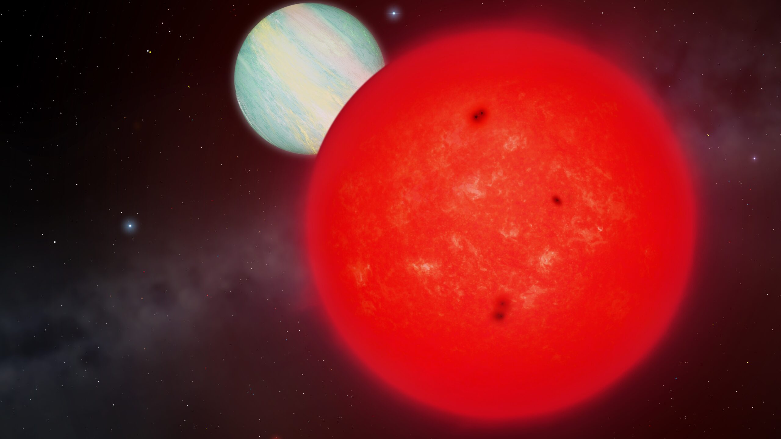
 07Binary star systems are complex astronomical objects − a new AI approach could pin down their properties quickly