
Now Reading: North Atlantic’s volcanic secrets – it’s about being thin
-
01
North Atlantic’s volcanic secrets – it’s about being thin


24/06/2025
400 views
15 likes
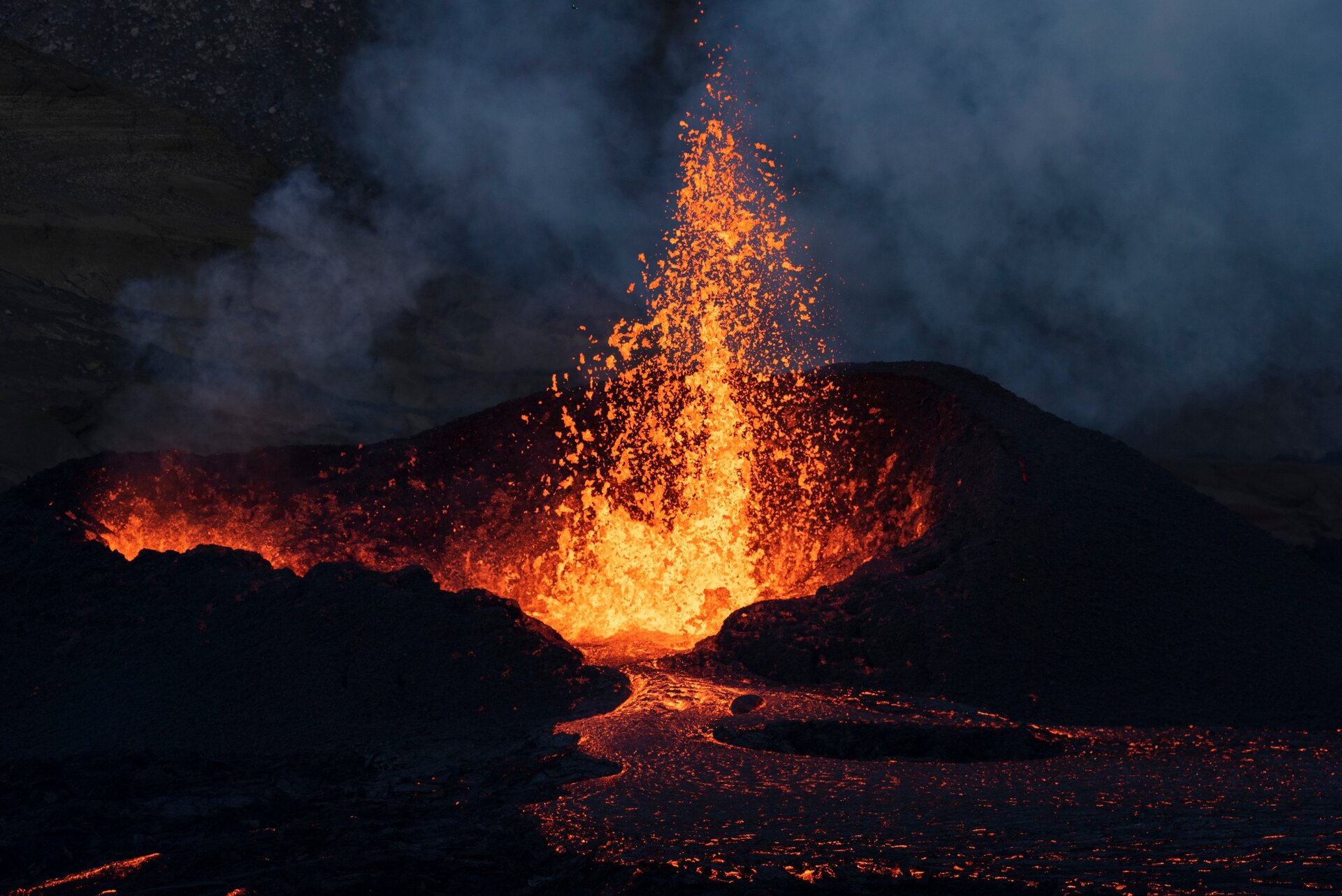
Iceland is one of the most active volcanic regions in the world, but its seismic nature is part of a much broader geological history.
In a groundbreaking discovery, scientists, supported by an ESA-funded project, have uncovered the underlying forces that forged the North Atlantic’s fiery volcanic past – shedding light on the vast geological region that spans from Greenland to western Europe, which is home to iconic natural wonders like the Giant’s Causeway in Northern Ireland.
Large igneous provinces similar to the North Atlantic Igneous Province are known to have caused profound changes in Earth’s climate and catastrophic mass extinctions.
Their formation is often associated with the rapid release of vast quantities of volcanic gases into the atmosphere, including carbon dioxide and sulphur dioxide.
Such emissions can lead to atmospheric warming or, conversely, short-term cooling through the emission of aerosols. Additionally, volcanic ash and lava flows can alter ocean chemistry, impacting marine ecosystems.
Understanding the mechanisms driving the formation of large igneous provinces is critical for assessing any potential implications for our future climate.
The volcanoes both in Iceland and across the North Atlantic are thought to be caused by the Iceland Plume – a giant, hot convective upwelling rising from Earth’s core–mantle boundary towards the surface.
The volcanoes are dispersed over an area thousands of kilometres across, and this could be explained by lateral flow of plume material, but evidence for such flow has been scarce – until now.
New research, from ESA’s Science for Society 4D Dynamic Earth project presented at ESA’s Living Planet Symposium in Austria, reveals the factors that directed the flow of hot mantle material and determined the distribution of ancient volcanoes.
The researchers pioneered methods for thermodynamic inversion of diverse satellite data – including gravity data from ESA’s FutureEO Earth Explorer GOCE gravity mission – alongside seismic and other terrestrial datasets. Applying these methods to Britain and Ireland has revealed previously unknown variations in the thickness of the tectonic plate – the lithosphere – beneath this region of the North Atlantic Igneous Province.
Notably, the areas of 60-million-year-old uplift and magmatism align precisely with regions where the lithosphere is currently abnormally thin.
Sergei Lebedev, from the University of Cambridge noted, “This striking correlation suggests that hot material from the Iceland Plume penetrated the region, eroding the lithosphere. The resulting combination of thin lithosphere, hot asthenosphere and decompression melting likely triggered the uplift and volcanic activity.”
The findings further reveal that the uneven distribution of current intraplate seismicity in Britain and Ireland is concentrated in regions of thin lithosphere, and along areas with sharp lithospheric thickness contrasts.
This indicates that the deep-mantle plume not only generated a pattern of thin lithosphere and scattered volcanic centres, but also left behind a lasting mechanical heterogeneity in the lithosphere. This heterogeneity continues to influence the long-term distribution of deformation, earthquakes, and seismic hazard.
Raffaele Bonadio, also from the University of Cambridge, explained, “Our study provides, for the first time, direct evidence that it was thin lithosphere beneath the eastern part of the North Atlantic Igneous Province that focussed the flow of plume material and localised uplift and magmatism there, including in the vast Antrim Lava Group with its famous Giant’s Causeway, and numerous other magmatic centres.
“The uneven distribution of British and Irish earthquakes shows no relationship to tectonic boundaries or major faults but, as we show, depends on the thickness of the lithosphere.
“Earthquakes are localised in areas with relatively thin, warm and mechanically weak lithosphere and near lithosphere-thickness contrasts.”
The study underscores the critical value of gravity data from space, leveraging data from ESA’s renowned GOCE mission. Building on the legacy of GOCE, as well as the US-German GRACE and GRACE Follow-On missions, ESA is now developing the groundbreaking Next Generation Gravity Mission (NGGM).
Ilias Daras, ESA’s Geodesy and Solid Earth Scientist, said, “Designed to push the boundaries of geoscience, NGGM will offer an unprecedented view of Earth’s internal processes.
“By precisely tracking mass changes on the planet’s surface and deep within its interior, NGGM will enhance our understanding of tectonic dynamics and our knowledge of the intricate structure of Earth’s crust and mantle, shedding new light on their density and viscosity.”


Related Posts


Stay Informed With the Latest & Most Important News
Previous Post
Next Post


Advertisement
-
 01Two Black Holes Observed Circling Each Other for the First Time
 -
 02From Polymerization-Enabled Folding and Assembly to Chemical Evolution: Key Processes for Emergence of Functional Polymers in the Origin of Life
 -
 03Astronomy 101: From the Sun and Moon to Wormholes and Warp Drive, Key Theories, Discoveries, and Facts about the Universe (The Adams 101 Series)
 -
 04True Anomaly hires former York Space executive as chief operating officer
 -
 05Φsat-2 begins science phase for AI Earth images
 -
 06Hurricane forecasters are losing 3 key satellites ahead of peak storm season − a meteorologist explains why it matters
 -
 07Binary star systems are complex astronomical objects − a new AI approach could pin down their properties quickly