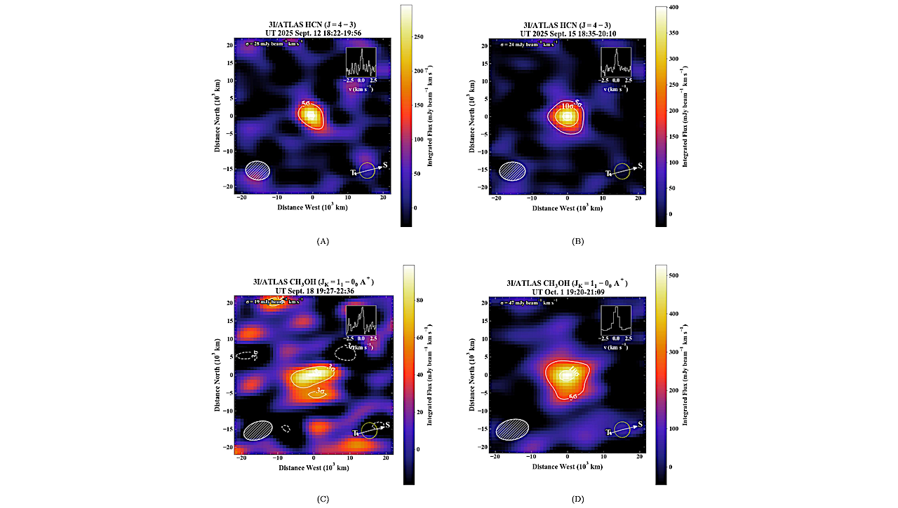
(A)–(D). Spectrally integrated flux maps for HCN on September 12 and 15 and for CH3 on September 18 and October 1. Contour intervals in each map are given in multiples

(A)–(D). Spectrally integrated flux maps for HCN on September 12 and 15 and for CH3 on September 18 and October 1. Contour intervals in each map are given in multiples
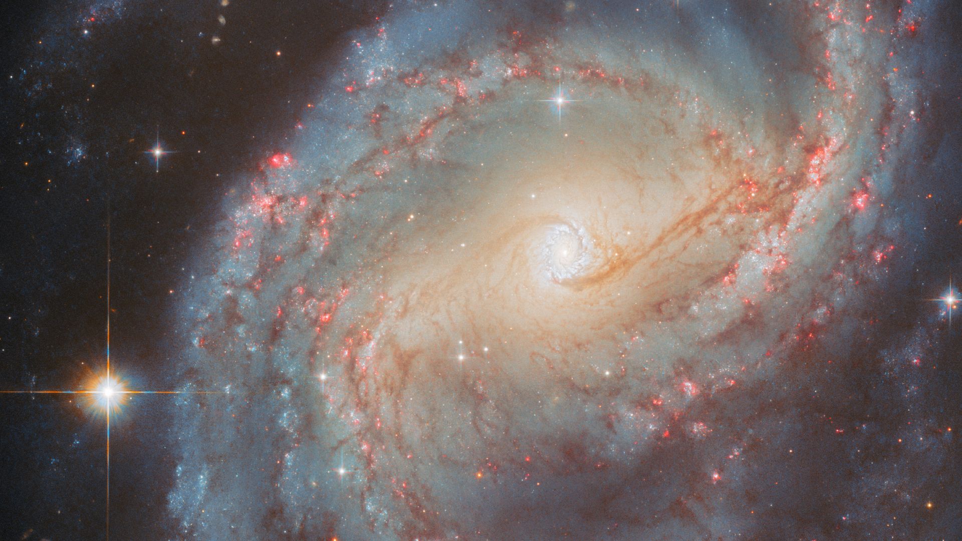
In the constellation Cepheus lies the barred spiral galaxy NGC 6951. Due to its stellar activity, the galaxy has become a favorite for astronomers using the Hubble Space Telescope. What
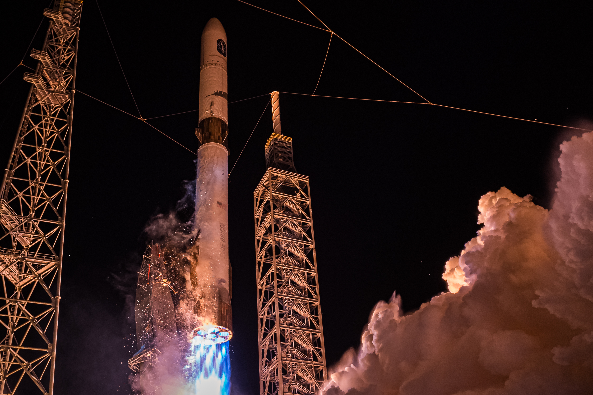
PARIS — Launch companies are reiterating plans to sharply increase flight rates to meet growing government and commercial demand, even as some fall short of earlier projections. Executives speaking at
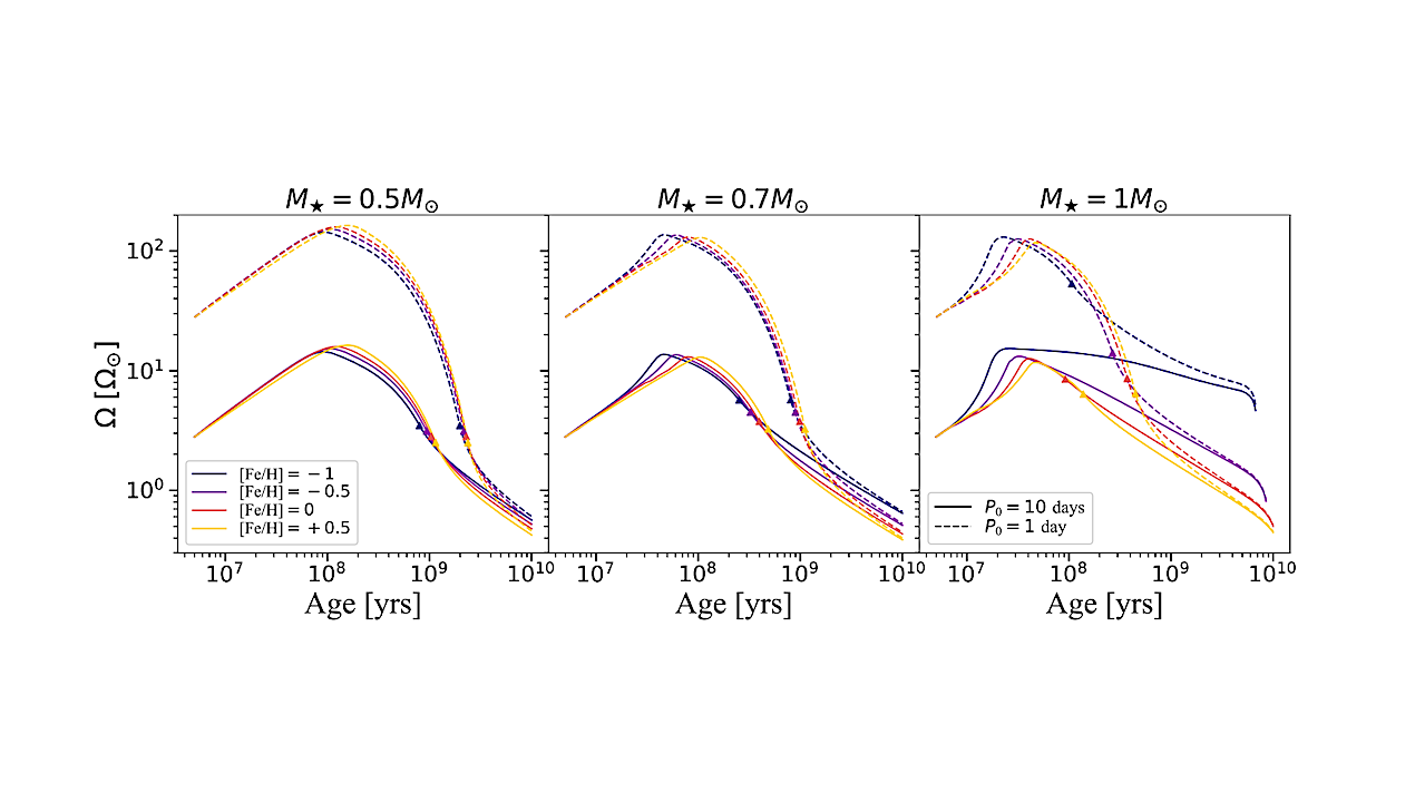
The modelled angular velocity evolution of stars of different masses, initial rotation periods and metallicities. The masses considered are 0.5𝑀 (left panel), 0.7𝑀 (middle panel) and 1𝑀 (right panel). The
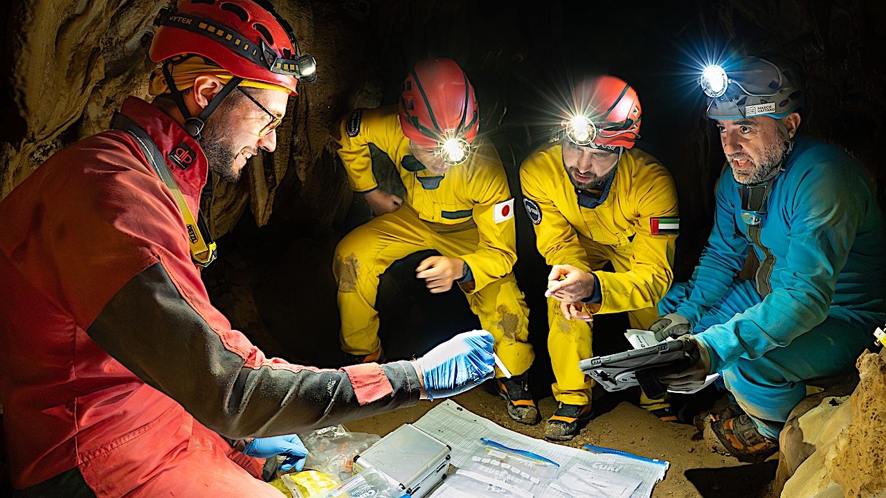
Keith Cowing Explorers Club Fellow, ex-NASA Space Station Payload manager/space biologist, Away Teams, Journalist, Lapsed climber, Synaesthete, Na’Vi-Jedi-Freman-Buddhist-mix, ASL, Devon Island and Everest Base Camp veteran, (he/him) 🖖🏻 Follow on
2025 marks a landmark year for Europe’s ‘bridge between Earth and space’. The European Space Agency’s Estrack satellite tracking network turns 50. Since its inception in 1975, Estrack – ESA’s

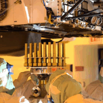
A close-up of Apollo 17 lunar core sample 73001 being taken out of its drive tube for the first time since it was collected by Apollo astronauts in December 1972

One of the primary goals of the James Webb Space Telescope (JWST) is to detect atmospheres around exoplanets, to try to suss out whether or not they could potentially support
TAMPA, Fla. — Viasat and Space42 have agreed to pool their Mobile Satellite Services spectrum, aiming to provide direct-to-device services from the world’s largest coordinated block of D2D frequencies within
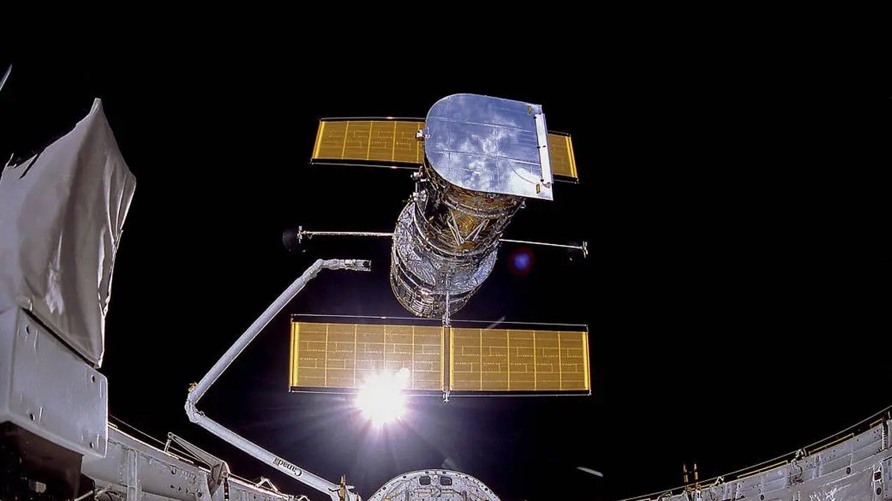
Floating high above Earth’s atmosphere, the Hubble Space Telescope has captured some of the most breathtaking images ever seen — galaxies colliding, stars being born, and nebulae glowing in cosmic