
Now Reading: Turning data from space into action for Earth
-
01
Turning data from space into action for Earth


22/04/2026
47 views
0 likes
Happy Earth Day, 22 April – a global call to act and protect our planet. At the European Space Agency, that action begins in orbit, where satellites deliver a continuous, global view of Earth and track environmental change. Working with partners, ESA turns this stream of data into actionable information, helping governments and communities respond faster and more effectively to climate-driven risks.
Here are two examples of how space technology is being used to anticipate threats to safeguard food security and public health.
Using satellite data to prevent locust swarms
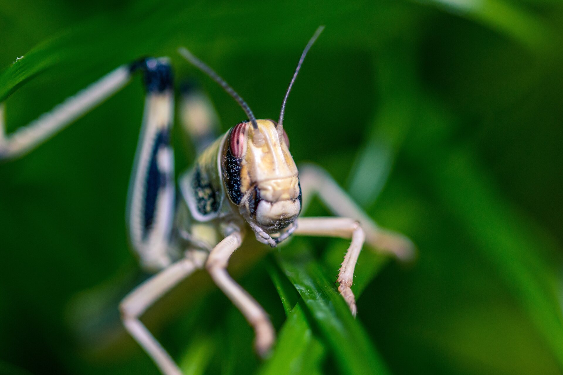
Desert locust outbreaks pose a severe threat to food security across East Africa, with swarms capable of devastating crops within hours.Today, satellite-based Earth observation is changing that – enabling authorities to detect risk early, predict breeding conditions and act before swarms ever take flight.
Speed is everything. The most effective control targets wingless juveniles, known as hoppers, before they fly. Traditional ground surveys, however, are slow, labour-intensive and often limited by remote or insecure terrain, allowing outbreaks to escalate.
As part of its commitment to Earth Action, ESA is helping to address this through its FutureEO programme by having co-developed an Earth observation–driven early warning and forecasting system with VITO Remote Sensing, the Intergovernmental Authority of Development (IGAD)and the World Bank.
Powered by Copernicus Sentinel satellite data and delivered through the East Africa Hazards Watch platform, it provides region-wide, location-specific alerts every 10 days – helping authorities prioritise interventions and support farmers facing crop losses.
The results are striking. Outbreaks are now less severe, and targeted action has sharply reduced insecticide use – cutting costs and environmental harm. In Ethiopia, annual use has dropped to around 6000 litres, compared to more than 1.1 million litres during the major outbreaks between 2019 and 2021.
High-resolution imagery from Copernicus Sentinel-2 and ESA’s WorldCover project maps vegetation growth and crop damage, supporting insurance claims, while Copernicus Sentinel-3’s near-daily coverage tracks rapid vegetation change linked to rainfall – one of the key drivers of locust breeding.
At the core is MaxEnt, a statistical model developed by VITO that pinpoints likely breeding zones and egg-laying windows by combining soil, elevation and weather data.
Built on open data and open software, the system is freely available – and is proving a powerful tool in protecting vulnerable regions from climate-driven pest outbreaks.
Early warning tool helps fight mosquito-borne diseases
As climate change accelerates the spread of mosquito-borne diseases, satellite-based early warning systems are giving health authorities a critical head start. By fusing Earth observation data with machine learning, ESA and UNICEF have developed a digital platform that helps countries predict, prepare for and respond to dengue and malaria outbreaks weeks before they escalate.
The need is urgent. Dengue alone puts around half the world’s population at risk, with an estimated 100–400 million infections each year, according to the World Health Organization. With better foresight, countries can act earlier – reducing illness and deaths while easing the strain on already stretched health systems, especially in the most vulnerable regions.
At the heart of this effort is the Disease Incidence and Resource Estimator (DIRE), developed by ESA’s Φ‑lab for UNICEF. DIRE combines machine learning with satellite‑derived environmental data to model how climate and geography influence disease transmission and predict imminent disease epidemics.
By turning complex climate and health data into visual risk maps and actionable guidance, DIRE helps health authorities identify high‑risk areas early, prepare clinics, mobilise staff and target vaccines and fumigation resources where they will have the greatest impact.
Pilots in Brazil and Peru – both heavily affected by dengue – show the model outperforms previous prediction methods. The approach was recognised as one of UNICEF’s top research initiatives in 2022 and named among UNESCO’s Top 100 AI solutions supporting the Sustainable Development Goals.
By transforming satellite data into early, targeted action, DIRE demonstrates how space technology and artificial intelligence are already helping protect public health and save lives on the ground.
Earth Action
From safeguarding harvests to strengthening public health, these examples show how data from space are no longer just about observing change – it is about driving timely, targeted action on the ground.
As the climate crisis intensifies, the ability to anticipate risks and respond early is critical to building resilience worldwide. By combining cutting-edge satellite technology with strong partnerships and open data, ESA is helping turn insight into impact – empowering communities not just to react to a changing planet, but to stay one step ahead.
ESA’s Director of Earth Observation Programmes, Simonetta Cheli, said, “This Earth Day, we are reminded that solid evidence is the foundation of effective action to protect our planet. ESA will continue to observe the Earth, strengthen scientific understanding and ensure that space-based knowledge informs policy, resilience and sustainability for the benefit of society.”


Related Posts
Stay Informed With the Latest & Most Important News
Previous Post
Next Post
Advertisement
-
 01Two Black Holes Observed Circling Each Other for the First Time
 -
 02From Polymerization-Enabled Folding and Assembly to Chemical Evolution: Key Processes for Emergence of Functional Polymers in the Origin of Life
 -
 03Astronomy 101: From the Sun and Moon to Wormholes and Warp Drive, Key Theories, Discoveries, and Facts about the Universe (The Adams 101 Series)
 -
 04True Anomaly hires former York Space executive as chief operating officer
 -
 05Φsat-2 begins science phase for AI Earth images
 -
 06Hurricane forecasters are losing 3 key satellites ahead of peak storm season − a meteorologist explains why it matters
 -
 07Binary star systems are complex astronomical objects − a new AI approach could pin down their properties quickly