
Now Reading: Satellite Imagery Reveals Stunning Complexity of Algeria’s Tanezrouft Basin Amid Dust Storms
-
01
Satellite Imagery Reveals Stunning Complexity of Algeria’s Tanezrouft Basin Amid Dust Storms

Satellite Imagery Reveals Stunning Complexity of Algeria’s Tanezrouft Basin Amid Dust Storms


Images captured by the Copernicus Sentinel-2 mission showcase the stark and striking landscape of the Tanezrouft Basin in central Algeria, an area known for its formidable conditions. Often described as the “Land of Terror,” this region of the Sahara is marked by extreme heat and a scarcity of water and plant life. The Sentinel-2 imagery employs a false-color processing technique, using specific spectral bands from shortwave and near-infrared wavelengths, enabling scientists to effectively classify and assess geological features.
In this almost lifeless environment, the enhanced color differentiation aids in distinguishing various surface materials, a benefit over traditional natural-color imaging. The images reveal a vivid representation of the terrain, where shades of red and brown indicate exposed sandstone formations, steep canyon walls, and rugged plateaus. The concentric patterns of the sandstone strata create visually striking designs, particularly pronounced in the upper left portions of the images.
Colors ranging from cyan to white in the images signify the presence of salt flats, evaporite basins, parched riverbeds, and prominent sand dunes, known as ergs. Among these features, Erg Mehedjibat is notable for its unique cluster of small star dunes that rise vertically instead of spreading horizontally, making it appear like a bright white floral arrangement.
In mid-February 2026, strong winds generated significant dust storms across Algeria, with satellite imagery from February 14 capturing this massive dust plume. The false-color imagery prominently displays a veil of dust represented in cyan tones, which blankets the rocky terrain prominently visible in earlier images from February 9. The dust storms have implications for air quality, as Sahara dust can travel long distances, significantly impacting human health. Using satellites for monitoring the expansive desert landscape proves essential for tracking and predicting dust storm movements, aiding in early warning systems for affected regions.


Related Posts


Stay Informed With the Latest & Most Important News
Previous Post
Next Post


Advertisement
-
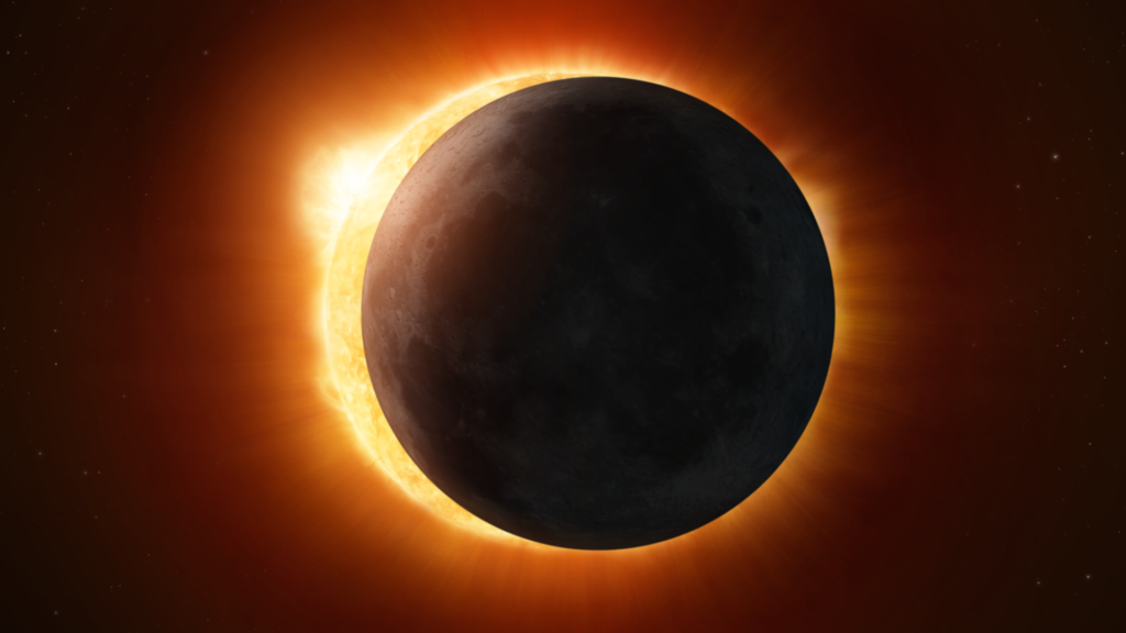
 01Two Black Holes Observed Circling Each Other for the First Time
 -
 02From Polymerization-Enabled Folding and Assembly to Chemical Evolution: Key Processes for Emergence of Functional Polymers in the Origin of Life
 -
 03Astronomy 101: From the Sun and Moon to Wormholes and Warp Drive, Key Theories, Discoveries, and Facts about the Universe (The Adams 101 Series)
 -
 04True Anomaly hires former York Space executive as chief operating officer
 -
 05Φsat-2 begins science phase for AI Earth images
 -
 06Hurricane forecasters are losing 3 key satellites ahead of peak storm season − a meteorologist explains why it matters
 -
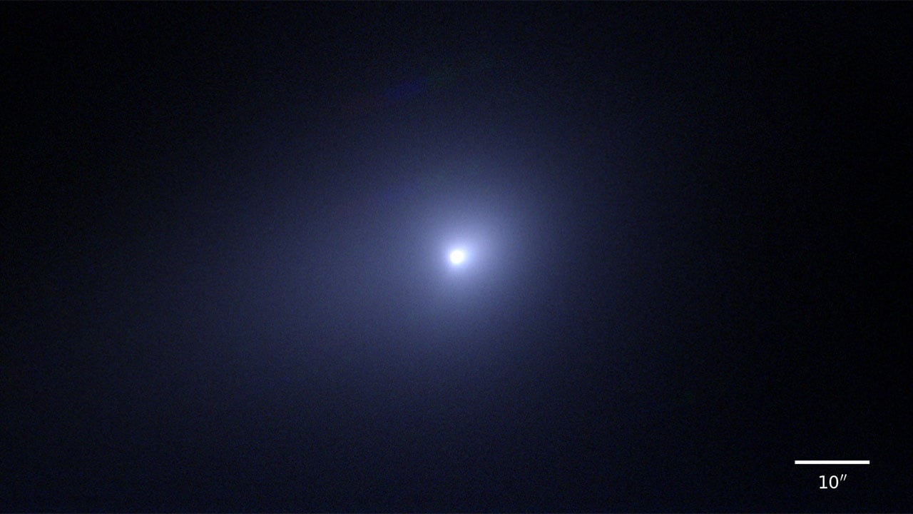
 07Binary star systems are complex astronomical objects − a new AI approach could pin down their properties quickly